ID 411467
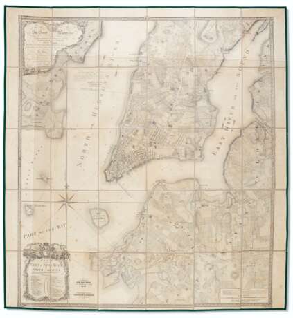
Los 59 | A 19th-century version of the Ratzer plan
Schätzwert
$ 4 000 – 6 000
Colton's rare 19th-century edition of "perhaps the finest map of an American city and its environs produced in the eighteenth century." (Augustyn & Cohen) The original "Ratzer map" was developed from surveys of 1766 and 1767 and the first engraved form was his "Ratzen" plan of the city itself published in 1769, engraved by Thomas Kitchen. By around 1770 the larger plan of the city and its environs had been finished and was published undated by Kitchin. The present copy is based upon the larger plan of the city but omits the view that appears on the bottom of the 18th-century editions.
Lithographed map, approximately 1025 x 950mm, segmented in 30 panels, linen-backed (minor spotting, modern backing), laid in loose to a near contemporary cloth folder (restoration to folder).
| Adresse der Versteigerung |
CHRISTIE'S 8 King Street, St. James's SW1Y 6QT London Vereinigtes Königreich | |
|---|---|---|
| Vorschau |
| |
| Telefon | +44 (0)20 7839 9060 | |
| Aufgeld | see on Website | |
| Nutzungsbedingungen | Nutzungsbedingungen |


