ID 610084
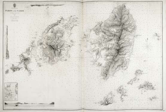
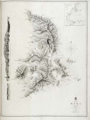
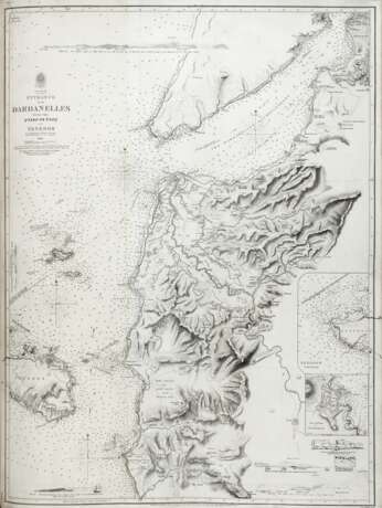
Los 197 | Archipelago Charts. Greece and Turkey
Schätzwert
€ 200 – 300
A detailed collection of hydrographic maps of the Aegean Sea published by the British Admiralty and finely bound. The maps depict the main ports and almost all the islands in the region with depth readings by Captains Copeland, Graves, Brock and Commander Spratt.
.
Elephant folio (670 x 510mm). Printed index and 98 maps of varios measurments, mainly full-page, mounted on guards (of 99 according to index, lacking n. 1555 Talanta, some foxing and light occasional browning). Contemporary half red morocco with title and decorations on spine, label on front cover, marbled endpapers (light rubbing). Provenance: Giuseppe Orlando (bookplate).
| Kategorie des Auktionshauses: | Bücher, Handschriften und Gravuren |
|---|
| Kategorie des Auktionshauses: | Bücher, Handschriften und Gravuren |
|---|
| Adresse der Versteigerung |
Il Ponte Casa d'Aste Via Pontaccio 12 20121 Milano Italien | |
|---|---|---|
| Vorschau |
| |
| Telefon | +39 02 863141 | |
| Fax | +39 02 72022083 | |
| Aufgeld | 26.0% | |
| Nutzungsbedingungen | Nutzungsbedingungen |


