ID 1119222
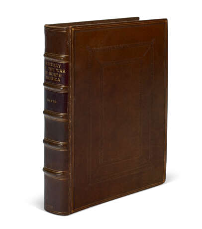
Los 66 | The History of the Late War in North-America
Schätzwert
$ 25 000 – 35 000
Thomas Mante, 1772
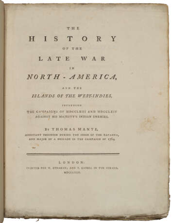
MANTE, Thomas (1733-c.1802). The History of the Late War in North-America and the Islands of the West-Indies, including the Campaigns of MDCCLXIII and MDCCLXIV against His Majesty's Indian Enemies. London: Printed for W. Strahan and T. Cadell, 1772.
The “best contemporary account of this war” (Howes).
A fine first edition: large, crisp, and untrimmed. With all maps and the elusive errata leaf. Thomas Mante was Assistant Engineer during the siege of Havana and Major of a brigade in the campaign of 1764. Mante details the Braddock campaign, other frontier campaigns under Washington, Amherst, Bradstreet and Bouquet and the Canadian campaigns. The history begins with the encroachment of the French in 1754 and concludes with the Treaty of Peace in 1763, followed by a narrative of Pontiac's War. Washington's involvement is detailed in depth, including an account of the 1753 assassination attempt by a Native American acting as his interpreter and guide.
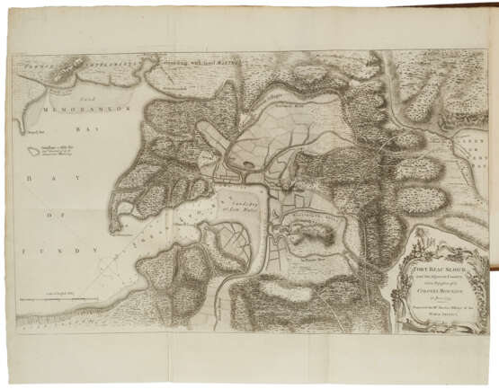
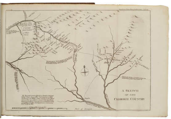
The maps are widely regarded by bibliographers as among the best relating to the French and Indian Wars. They comprise: 1. Fort Beausèjour and the adjacent country. 2. Lake Ontario to the Mouth of the River St. Lawrence. 3. Portion of New York showing Lake George &c. from Crown Point to Fort Edward. 4. Plan of Fort Edward and its environs on Hudson River. 5. The Communications between Albany and Oswego. 6. Attack on Louisbourg. 7. The Attack on Ticonderoga. 8. Plan of Fort Pitt or Pittsburg. 9. Plan of Guadeloupe. 10. Attack on Quebec. 11. Sketch of the Cherokee Country. 12. River St. Lawrence from Lake Ontario to Montreal. 13. Plan of the attack on Fort Levi. 14. Plan of the St. Lawrence from Montreal to the Island of St. Barnaby. 15. Marinico. 16. Part of the West Coast of the Island of St. Lucia. 17. Attack of the Havanna. 18. Plan of the retaking of Newfoundland.
Church 1092; Howes M-267 ("c"); Reese, Struggle 81; Streeter sale 1031; Sabin 44396 ("It is probable that but few were printed, though the larger and beautiful plans and military maps [which give it so great a value] must have made it a work of great expense").
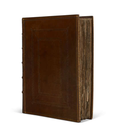
Quarto (306 x 240mm). Errata leaf at end. (A little soiling to title and dedication leaves.) 18 folding engraved maps maps (tiny repaired hole in pl.13, a little soiling to outer edge of pl.12). Modern calf to style, deckle edges preserved (minor rubbing to joints and tips). Provenance: Ernest E. Keet (bookplate).
| Künstler: | Thomas Mante (1733 - 1802) |
|---|---|
| Herkunftsort: | Nordeuropa, Europa, Vereinigtes Königreich |
| Kategorie des Auktionshauses: | Gedruckte Bücher |
| Künstler: | Thomas Mante (1733 - 1802) |
|---|---|
| Herkunftsort: | Nordeuropa, Europa, Vereinigtes Königreich |
| Kategorie des Auktionshauses: | Gedruckte Bücher |
| Adresse der Versteigerung |
CHRISTIE'S 20 Rockefeller Plaza 10020 New York Vereinigten Staaten | ||||||||||||||
|---|---|---|---|---|---|---|---|---|---|---|---|---|---|---|---|
| Vorschau |
| ||||||||||||||
| Telefon | +1 212 636 2000 | ||||||||||||||
| Fax | +1 212 636 4930 | ||||||||||||||
| Nutzungsbedingungen | Nutzungsbedingungen | ||||||||||||||
| Versand |
Postdienst Kurierdienst Selbstabholung | ||||||||||||||
| Zahlungsarten |
Banküberweisung | ||||||||||||||
| Geschäftszeiten | Geschäftszeiten
|
