Different countries: history — A126: Naturwissenschaften und Technik, Porzellan
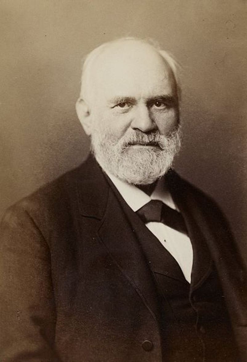
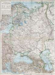
Heinrich Kiepert, full name Johann Samuel Heinrich Kiepert, was a German geographer and cartographer.
Kiepert is considered one of the most important map scholars of the second half of the 19th century. Educated at the University of Berlin, Kiepert worked with Karl Ritter (1779-1859). Together they produced one of the first modern atlases of the ancient Greek world, the Topographical-Historical Atlas of Hellas and the Hellenic Colonies in 24 sheets (1840-1846). He traveled to Asia Minor and produced two maps of the region in 1844.
Heinrich Kiepert also taught geography at the Humboldt University-Berlin for 40 years and was a member of the Prussian and Austrian Academies of Sciences.
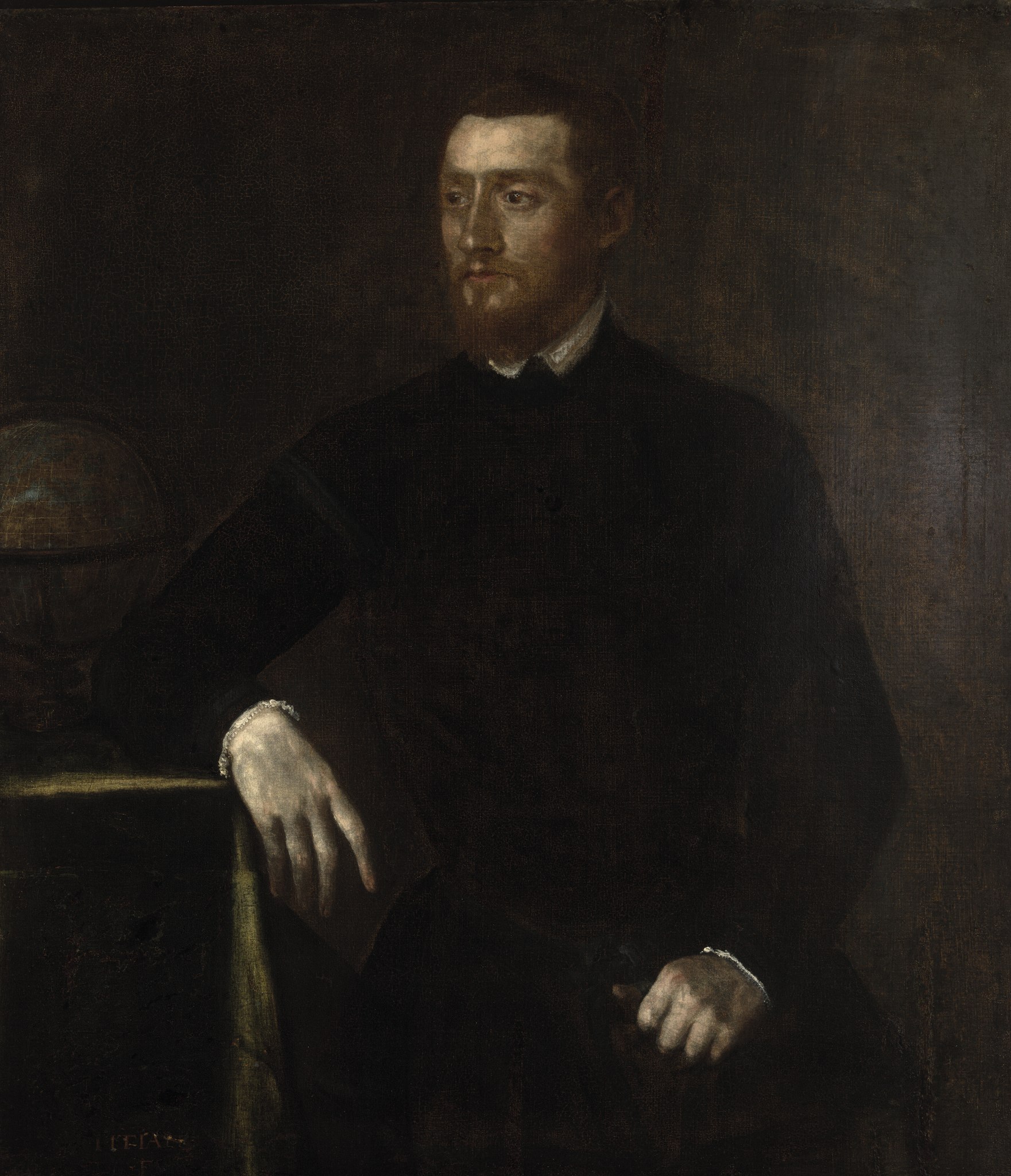
Gerardus Mercator, birth name Gheert Cremer was a Flemish geographer and cartographer, best known for the map projection that bears his name.
Gerardus Mercator was the first to use this equiangular cylindrical projection for drawing a navigational chart of the world on 18 sheets (1569). The Mercator projection is remarkable in that it does not distort angles and shapes and only keeps distances at the equator. It is currently used for nautical navigational and aeronautical charts. Although modern historical cartographic research has established that this projection was used as early as 1511, it is only by Mercator that it has become widely used.


