ID 411444
Lot 37 | Atlas & Pilote Americain
Estimate value
$ 60 000 – 90 000
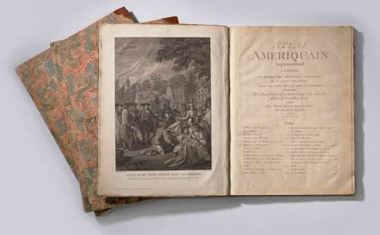
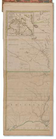
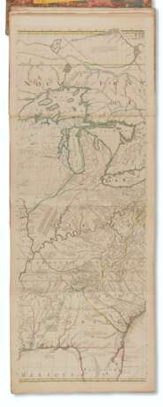
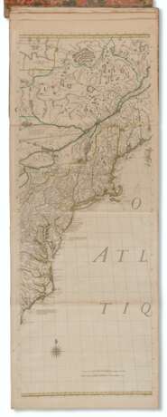
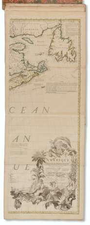
A rare pair of first French editions of both of Thomas Jefferys' most ambitious works: the American Atlas and the North American Pilot, both of 1775. Issued shortly after France's entry into the war, this Paris edition of the Atlas compiled the most comprehensive and accurate surveys of the colonies available and therefore became the go-to source for French strategic planning. It included Mitchell's map of North America (widely regarded as the most important map in American history; see following lot), Mead's New England, Montresor's New York, Scull's Pennsylvania, Fry and Jefferson's Virginia, Mouzon's Carolinas, De Brahm's Georgia, and Jefferys's Louisiana and East and West Florida.
Pilote Americain Septentrional was the first French attempt to produce detailed charts of North American waters at the beginning of the Revolution. It included the Atlantic Ocean, North American ports, and the islands ranging from the North Atlantic to the Caribbean, and was intended for use by the French Navy and merchants during, and in the aftermath of, the war. Le Rouge's Pilote was, until the publication of the Dépôt de la Marine's Neptune Americo-septentrional in 1780, the only comprehensive and up-to-date French survey available at the time. It is highly likely that when the 16 French ships commanded by Charles-Henri comte d'Estaing arrived in Newport Harbor in late 1778 to help the fledging United States in their war against the British, the fleet had in their possession a copy of the present work. Prior to the publication of the Pilote, the French navy was forced to rely on the work of English surveyors by buying charts published in England. Evidence that the pilot may have been in the possession of the French Navy by outbreak of war is provided by a text panel pasted to the foot of the first volume's contents leaf: the text is an extract from a letter of thanks received by Le Rouge from the French naval base at Brest, dated 4th May 1778. Howes J-81 & J-86; Sabin 35969 & 40141; Schwartz & Ehrenberg, p. 202. The number of maps present varies from copy to copy for both works, a list of those present here is available on request.
Two works in three volumes, folio (540 by 410mm). Atlas volume: Engraved frontispiece, title-page, and 17 double-page and or folding charts on 24 engraved mapsheets, most with contemporary hand-color in outline. Pilote volume: general engraved title-page and divisional title-page, 42 engraved maps and charts on 60 engraved map sheets, mostly double-page or folding, a few full-page. (Atlas and Pilote vol 2 with scattered toning / light spotting and scattered marginal repairs, Pilote vol 1 expertly cleaned and pressed, with some neat marginal repairs). Contemporary marbled paper boards, paper spine labels (spines restored), the Pilote volumes recornered in calf. Provenance: Raoul de Rochebrune (ownership inscription to Atlas).
| Address of auction |
CHRISTIE'S 8 King Street, St. James's SW1Y 6QT London United Kingdom | |
|---|---|---|
| Preview |
| |
| Phone | +44 (0)20 7839 9060 | |
| Buyer Premium | see on Website | |
| Conditions of purchase | Conditions of purchase |
