ID 519388
Lot 97 | Emile Licent (1876-1952)
Estimate value
£ 4 000 – 6 000
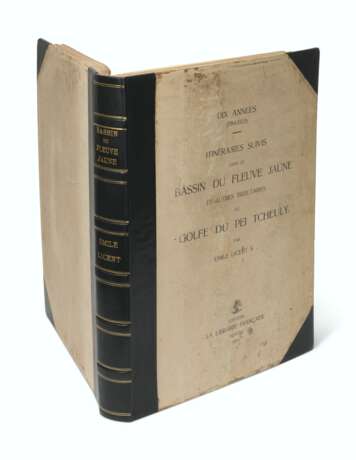
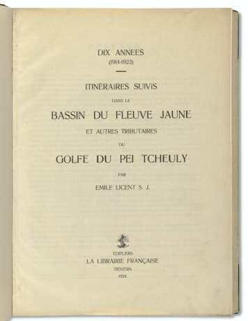
Dix années (1914-1923) – Itinéraires suivis dans le bassin du fleuve Jaune et autres tributaires du golfe du Pei Tcheuly. Tianjin: La Libraire Française, 1924.
Very rare atlas showing Licent's travels in northern China. Licent was a French who spent more than twenty-five years researching in Tianjin, and exploring the provinces of Shandong, Hebei, Shanxi, Henan, Shaanxi, Gansu, Inner Mongolia and eastern part of the Tibetan Plateau. When he first arrived at Tianjin in 1914, Lincent established the Musée Hoangho Paiho (the 'Beijiang Museum') one of the earliest of its kind in China. It survived the Second World War and changed its name to Tianjin Natural History Museum (TMNH) in 1952.
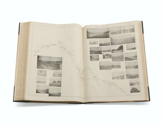
The present lot is the folio atlas volume only; it was published with 3 accompanying text volumes. Between the maps – which are almost all double-page and printed in blue, black and red and contain inset photographic illustrations – there are 26 single-page and 15 double-page photolithographic plates of illustrations. The preface indicates that Licent ran out of space to insert these photographs in the map to which they refer, so inserted them between the maps with cross references.
The cartography is fascinating, comprising of Licent's route maps drawn on a scale of one centimetre per quarter of an hour of walking, which approximately equates to between 1:100,000 and 1:110,000. The author states in the preface is that his goal was to provide co-ordinates from which a large-scale map of northern China could be determined. The maps are oriented to magnetic north, and also provide altimeter readings in metres taken by a compensated aneroid barometer. The preface also states that reference to the text volumes is necessary in order to determine the composition of place names which can vary.
Folio atlas (533 x 390mm) only. Letterpress title and leaf of preface, additional chromolithographic title with map, 152 maps numbered 1-15,18-154, all but one double-page or double-page and folding, with 26 single-page and 15 double-page photolithographic plates of illustrations, one numbered 87bis (without the accompanying text vols, map 66 creased and slightly torn at head into image, map 113 with one corner chipped with associated loss to one photo image, map 138 with adhesion, map 149 with short marginal reapirs just into printed area but without loss maps 150-154 at end with vertical creases). Original printed boards, rebacked and recornered in black morocco (paper on front cover starting to bubble, extremities rubbed).
| Address of auction |
CHRISTIE'S 8 King Street, St. James's SW1Y 6QT London United Kingdom | |
|---|---|---|
| Preview |
| |
| Phone | +44 (0)20 7839 9060 | |
| Buyer Premium | see on Website | |
| Conditions of purchase | Conditions of purchase |


