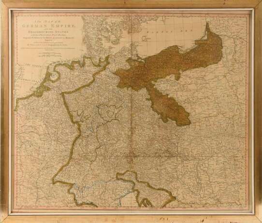
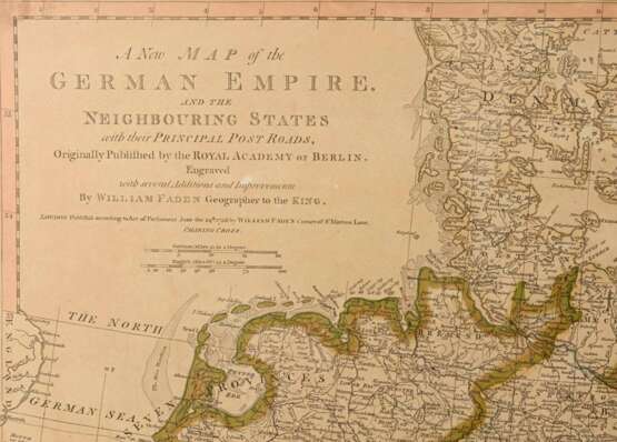
FADEN, William (1749 London - 1836). Landkarte.

Sold
€ 40
Auction dateClassic
25.06.2021 09:00UTC +02:00
Auctioneer
Kunst-Auktionshaus Wendl
Event location
Germany, Rudolstadt
Archive
The auction is completed. No bids can be placed anymore.
Archive
ID 569566
Lot 2278 | FADEN, William (1749 London - 1836). Landkarte.
FADEN, William(1749 London - 1836)Landkarte des Heiligen Römischen Reiches Kolorierter Kupferstich.1788.Framed & behind glass:71,5 x 84 cm.Detailreiche Postroutenkarte des Heiligen Römischen Reiches (deutscher Nation) und angrenzender Staaten am Vorabend der Französischen Revolution 1789, bezeichnet "A new Map of the German Empire and the Neighbouring States".Mehrfach gefaltet, etwas stockfleckig, Lichtschaden.Englischer Kupferstecher, Verleger, Kartograf und königlicher Geograf von König Georg III. ("geographer to the king").
Address of auction Kunst-Auktionshaus Wendl
August-Bebel-Straße 4
07407 Rudolstadt
Germany
Preview
23.06.2021 – 26.06.2021
Phone +49 3672 424350
Fax +49 3672 412296
Email
Buyer Premium 21.42
Conditions of purchaseConditions of purchase
Business hoursBusiness hours
Mo 09:00 – 12:30    14:00 – 17:00
Tu 09:00 – 12:30    14:00 – 17:00
We 09:00 – 12:30    14:00 – 17:00
Th 09:00 – 12:30    14:00 – 17:00
Fr 09:00 – 12:30    14:00 – 17:00
Sa closed
Su closed

Related terms