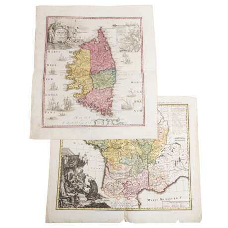
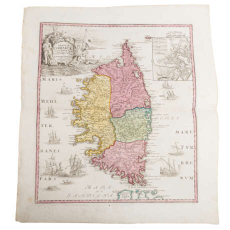
Historical copper engraved maps of France and Corsica, 18th century.

Lot 39
27.05.2023 15:00UTC +01:00
Classic
Sold
€ 260
AuctioneerEPPLI Auktionshaus
Event locationGermany, Stuttgart
Buyer Premium0%
Archive
The auction is completed. No bids can be placed anymore.
Archive
ID 960381
Lot 39 | Historical copper engraved maps of France and Corsica, 18th century.
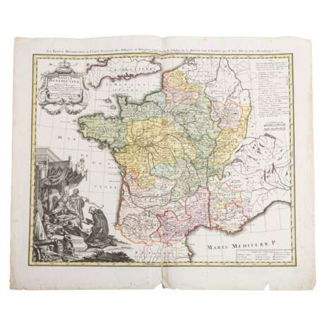
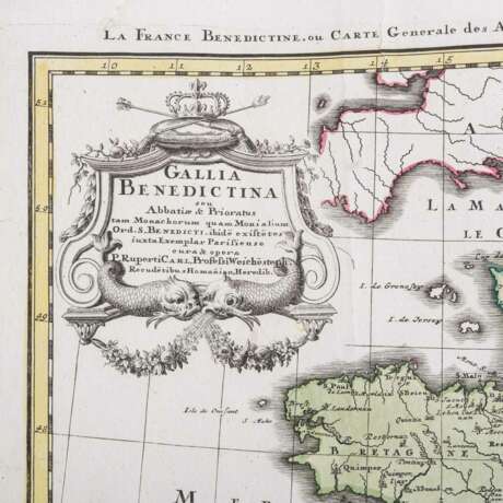
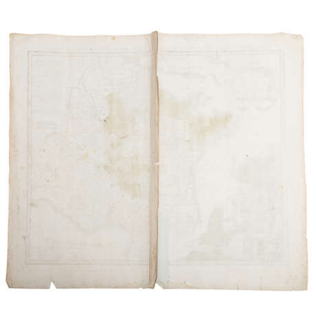
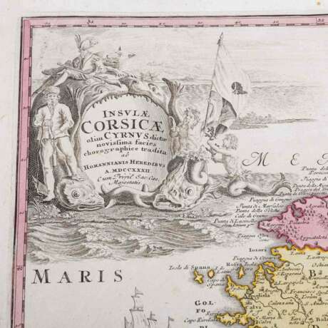
Historical copper engraved map of France and Corsica, 18th century - 1 x Provinces, Monasteries and Shrines of the Benedictines in France "Gallia benedictina seu Abbatiae & Prioratus tam Monachorum quam Monialium Ord. S. Benedicti (...), Carl Rupert and Johann Christoph Homann, published by Homanns Erben. Dimensions 63cm x 54cm with centerfold. 1 x Corsica "Insulae Corsicae olim Cyrnus dictae novissima facies chorographice tradita", Homann heirs. Title cartouche top right, secondary map top left city map of Bastia. With centerfold, dimensions 51 x 42 cm. With signs of age and usage, tears, stains, discoloration, creases, restored at centerfold.
Address of auction EPPLI Auktionshaus
Marktplatz 6
70173 Stuttgart
Germany
Preview
27.05.2023
Phone +49711997008100
Fax +49 711 997 008 198
Email
Buyer Premium 0%
Conditions of purchaseConditions of purchase
Business hoursBusiness hours
Mo 10:00 – 17:00   
Tu 10:00 – 17:00   
We 10:00 – 17:00   
Th 10:00 – 17:00   
Fr 10:00 – 17:00   
Sa closed
Su closed

Related terms