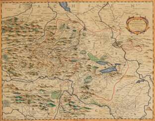
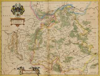
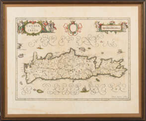
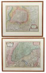
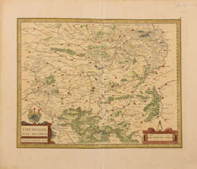
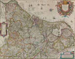
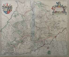
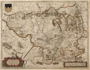
Johannes Janssonius (1588 - 1664) — Auction price
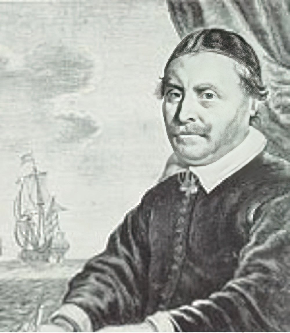
Johannes Janssonius was a Dutch cartographer, printer and publisher.
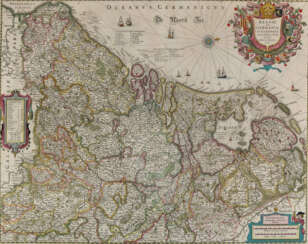
In 1616 Janssonius created his first maps of France and Italy, and every year he expanded and improved their publishing. The so-called "Great Atlas" already numbered eleven volumes. The editions were printed in Dutch, Latin, French and German.
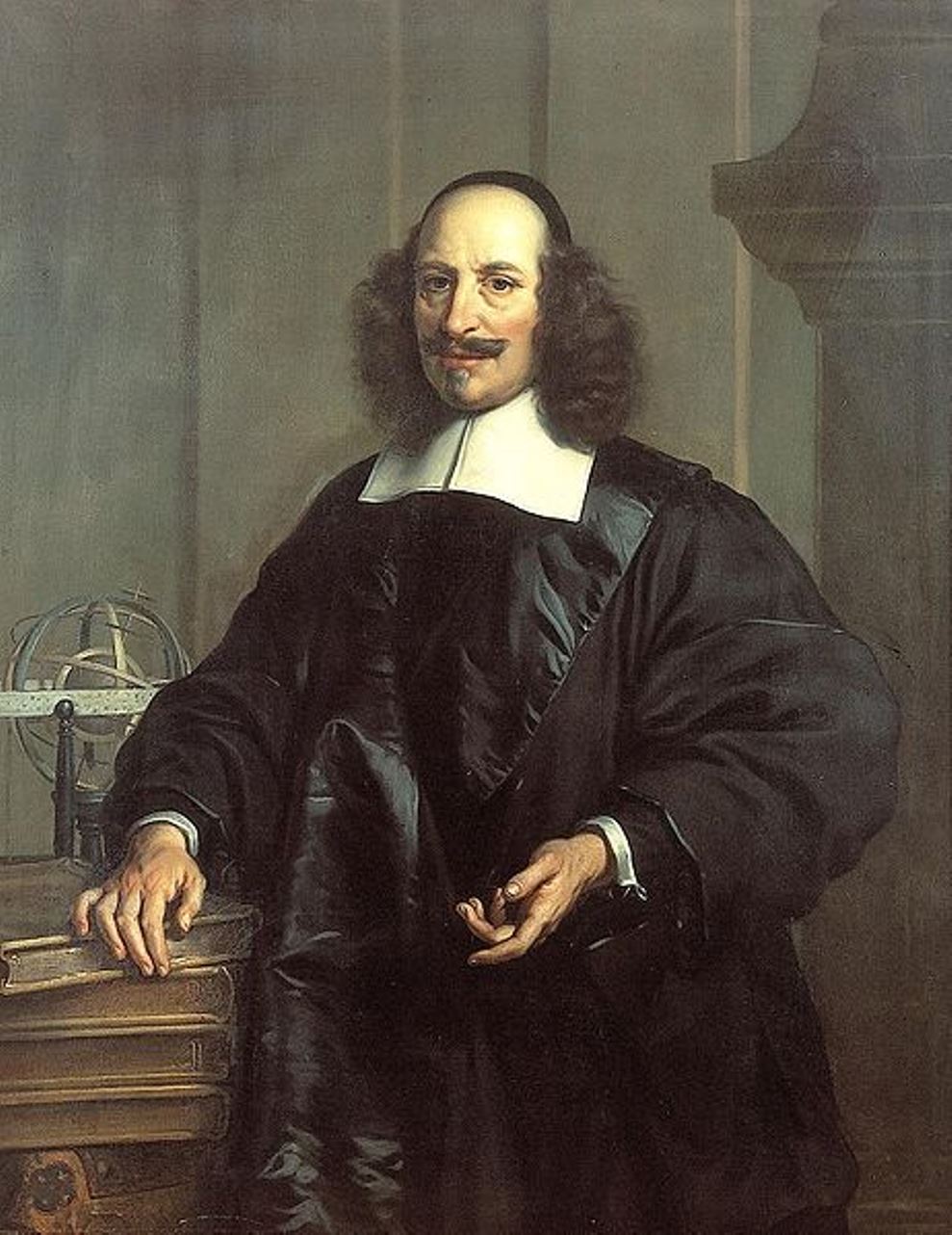
Jan (Joan) Willemsz. Blaeu was a Dutch cartographer, publisher and judge.
Jan was born into the family of the cartographer and publisher Willem Janszoon Blaeu (1571-1638). He studied in Leiden, where he earned a doctorate in law, and in Padua. He then began to assist his father, who was engaged in the manufacture of globes and maps. After his father's death, Jan, together with his brother Cornelius, continued his work, and succeeded him as cartographer for the Dutch East India Company.
In 1651 Blaeu was elected to the Amsterdam city council and later appointed as a judge. At the same time, he was engaged in his publishing business: he continued to publish volumes of Atlas novus, which contained maps of English counties and, for the first time, an atlas of Scotland, as well as one volume of maps of the Far East.
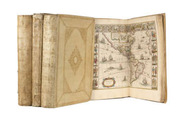
Blaeu did not have time to complete his most ambitious project, but it made him famous as the author of the famous 11-volume Dutch atlas. Based on his previous maps, Blaeu created the Great Atlas (Atlas Maior) - it contained nearly 600 maps and a total of 3,000 pages of Latin text - and was published in 1662. Blaeu's maps were groundbreaking for their time because they were created in accordance with the heliocentric theories of Nicolaus Copernicus.
In 1672, a great fire in Amsterdam destroyed Blaeu's workshop, and the cartographer died a year later, apparently never recovering from this stroke of fate.
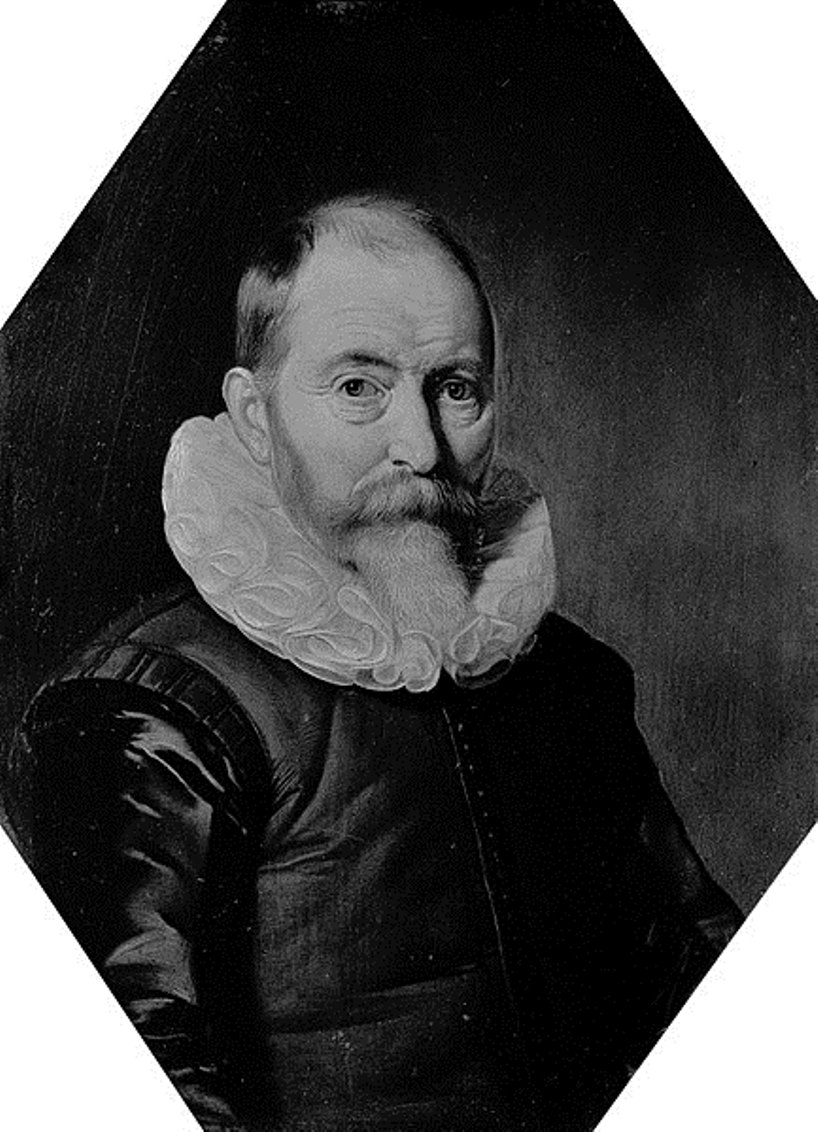
Willem Janszoon Blaeu was a Dutch cartographer and map publisher.
Willem studied astronomy and cartography under the Danish astronomer Tycho Brahe and even discovered the variable star P Swan in 1600. A little later Blaeu settled in Amsterdam, where he began making globes and also began producing land and sea maps, including a 1605 world map. In 1629 he managed to acquire the printing plates of the cartographer Jodok Hondius, with which he published his own atlas.
In 1633, Willem Blaeu was appointed cartographer of the Dutch Republic, as well as the official cartographer of the Dutch East India Company. Blau built up a large collection of maps and conducted an extensive publishing business. After Willem's death, his sons Jan Blaeu (1596-1673) and Cornelius Blaeu successfully continued his work. But in 1672, during a fire in Amsterdam, Blaeu's workshop was destroyed, and the company founded by Willem Blaeu ceased to exist in 1698.

Johannes Janssonius was a Dutch cartographer, printer and publisher.
In 1616 Janssonius created his first maps of France and Italy, and every year he expanded and improved their publishing. The so-called "Great Atlas" already numbered eleven volumes. The editions were printed in Dutch, Latin, French and German.
