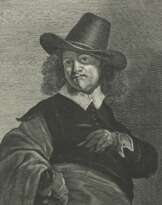
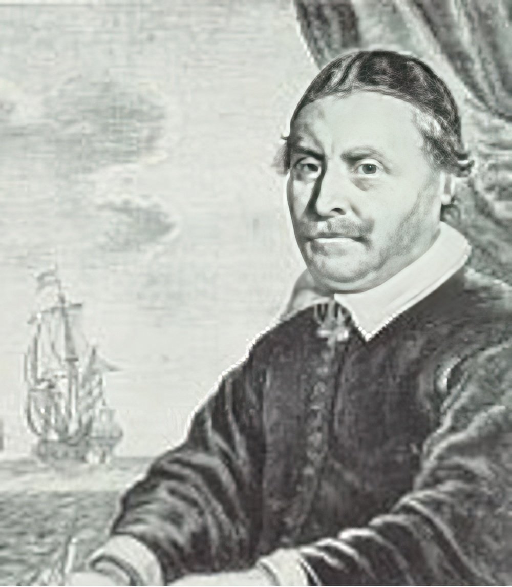
1588Arnhem, The Netherlands1664-07-11Amsterdam, The NetherlandsThe Netherlands
Johannes Janssonius
Johannes Janssonius was a Dutch cartographer, printer and publisher.
In 1616 Janssonius created his first maps of France and Italy, and every year he expanded and improved their publishing. The so-called "Great Atlas" already numbered eleven volumes. The editions were printed in Dutch, Latin, French and German.
The website has 5 types of users with different functions. Choose a suitable one from the list. Use the help tips that are attached to each of the user type.
Buyer
Artist and designer
Please, enter your email address with which you registered. You will receive a link to this address for changing the password.


 "Theatrum exhibens illustriores principseque Germaniae superioris civirates", Prachtband, Exemplar Nr. 249 aus einer limitierten Auflage von 500 Stück, mit zahlreichen doppelblattgroßen Tafeln, u.a. 2x Ro…")
, BLAEU, Joan (1596-1673) e Johannes JANSSONIUS (1588-1664) - Theatrum Orbis Terrarum sive Novus Atlas. Amsterdam: Blaeu (vols. 1-3) e Janssonius (vol. 4), 1644-1646.")
 - Atlantis majoris quinta pars, Orbem maritimum Novus Atlas, volume V: carte marittime. Amsterdam: Janssonius, 1650.")
; 1588 - 1664. '…")
")
")