ID 1105624
Lot 132 | DARBY, William (b.1775)
Estimate value
£ 1 000 – 1 500
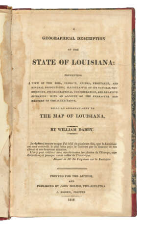
A Geographical Description of State of Louisiana. Philadelphia: Printed for the Author, published by John Melish, 1816.
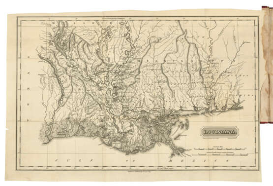
First edition. Darby's book was published to accompany his A Map of the State of Louisiana With Part Of The Mississippi Territory, also published by Melish in 1816. Howes D-62; Sabin 18528.
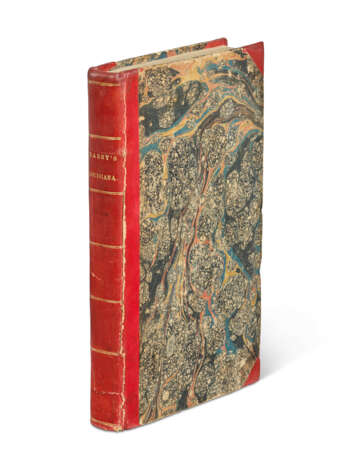
Octavo (204 x 118 mm). Folding engraved map, a reduced version of Darby’s large map and engraved by S. Harrison, leaf with note to p.128 with errata on verso bound after index, followed by small engraved historical map of Louisiana, xvii pp. of index, 3pp. of attestation, and 13pp. of subscribers at end (front endpapers, folding map and title stained, some browning from gathering R onwards). Contemporary red half roan (extremities rubbed, upper joint starting to crack). Provenance: Agustin Edwards (bookplate).
| Address of auction |
CHRISTIE'S 8 King Street, St. James's SW1Y 6QT London United Kingdom | ||||
|---|---|---|---|---|---|
| Preview |
| ||||
| Phone | +44 (0)20 7839 9060 | ||||
| Buyer Premium | see on Website | ||||
| Conditions of purchase | Conditions of purchase |


