ID 479092
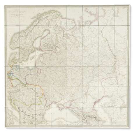
Lot 53 | Lapie's map of Russia and environs
Estimate value
$ 1 000 – 1 500
A superb wall map in its original morocco case, by the first geographer of the king, and squadron leader in the Royal Corps of Engineers Geographers. Bound with the royal arms of France, probably for presentation.
Engraved, dissected into 48 panels and mounted on linen, each approx. 275 x 200mm, total 1630 x 1680mm; hand-colored in outline (occasional light spotting). Housed in a contemporary French dark green straight-grained morocco slipcase with gilt royal arms of France on each side of top section (corners lightly worn).
| Address of auction |
CHRISTIE'S 20 Rockefeller Plaza 10020 New York USA | ||||||||||||||
|---|---|---|---|---|---|---|---|---|---|---|---|---|---|---|---|
| Preview |
| ||||||||||||||
| Phone | +1 212 636 2000 | ||||||||||||||
| Fax | +1 212 636 4930 | ||||||||||||||
| Conditions of purchase | Conditions of purchase | ||||||||||||||
| Shipping |
Postal service Courier service pickup by yourself | ||||||||||||||
| Payment methods |
Wire Transfer | ||||||||||||||
| Business hours | Business hours
|


