ID 627585
Lot 96 | Map of China produced by Qianlong’s Imperial Secretariat
Estimate value
$ 20 000 – 30 000
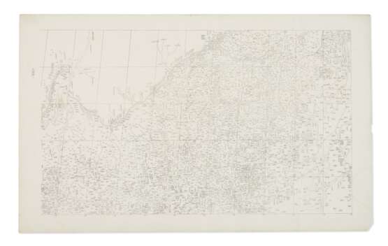
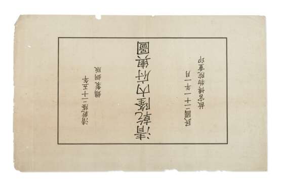
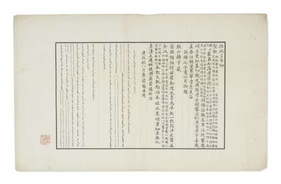
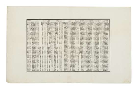
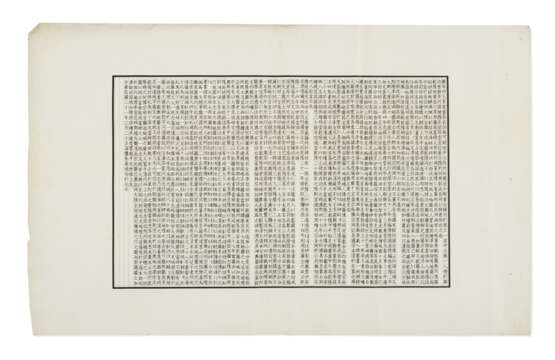
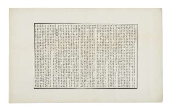
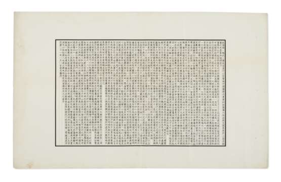
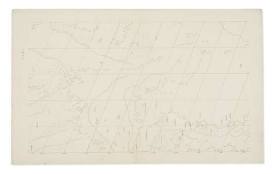
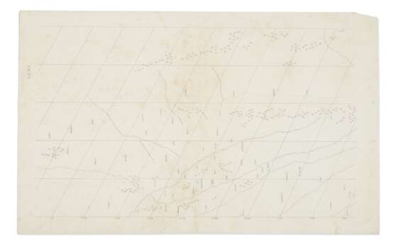
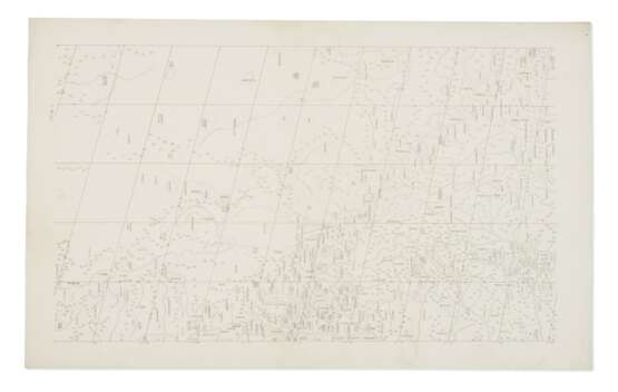
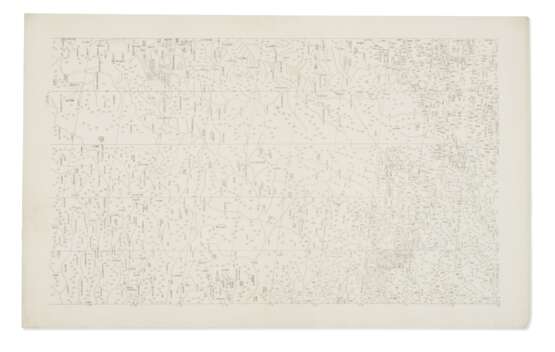
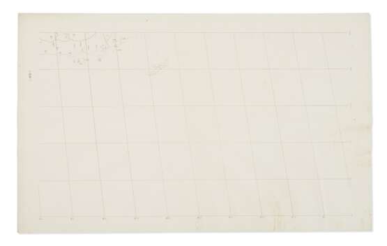
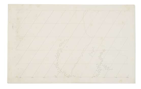
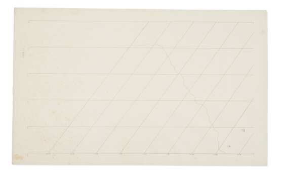
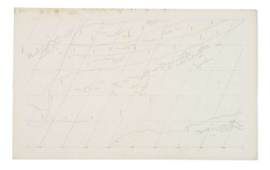
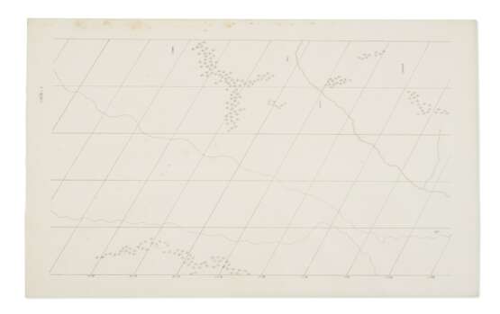
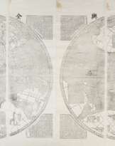
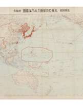
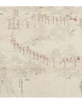
Extremely important and comprehensive 1932 reprint of this Qianlong period comprehensive map of China and Central Asia, one of only about 100 copies printed. Following his grandfather Emperor Kangxi’s map survey project conducted during 1708-1719, Emperor Qianlong initiated another ambitious geographical survey during 1756-1760, which mainly focused on the northwestern territory conquered by the Qing court during 1755-1758. The major surveyors include He Guozong (?-1767), P. Michel Benoit (1715-1774) and Antoine Gaubil (1689-1759). The other parts of the map were based on Huangyu Quanlan Tu (Overview Atlas of Imperial Territories; see lot SN00636463/049 for a copy of this map) accomplished during the Kangxi period. The original of the present lot was copperplate, named Huangyu Quantu (Complete Atlas of Imperial Territories) and completed in 1760 with all the 100 copies stored in the collection of Qianlong’s Imperial Secretariat. Few people had the chance to see the maps at that time. It is widely known as Qianlong Shisanpai Tu (Qianlong’s Thirteen-row Map), because the whole map contains thirteen rows, with the title and inscription leaves excluded. In 1925, the copperplate map was rediscovered in the Palace Museum and reprinted in 1932, with two prefaces added. The map centers on China, the westmost longitude is 40 degree east and the northmost is 80 degree. It’s bonded on the east by the Sakhalin, to the south by the Hainan Island, and to the west by the Baltic Sea, Mediterranean Sea and Red Sea. This map was regarded by the renowned historian of Chinese science and technology, Noel Joseph Terence Montgomery Needham, as the best map produced in Asia at that time, which was of even better accuracy than maps produced in Europe, remarkable at a time of social upheaval and widespread poverty in China. Another copy of the atlas is in the collection of the National Library of China.
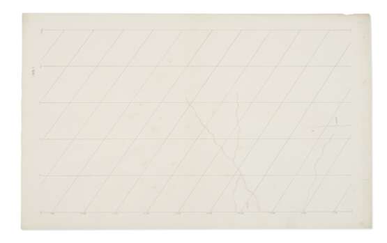
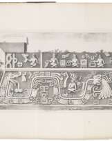
Lithographic atlas of China, comprising 115 map-sheets printed on rectos only. The map, if assembled, contains 14 rows with the title leaf and 5 preface leaves as the first row (individual sheets are approximately 460 x 750 mm each); housed in a 830 x 530 mm case, the top and sides of which wrapped with blue brocade decorated with five-claw dragon pattern and inside wrapped with yellow brocade lining. Texts in Chinese. A seal of the Palace Museum, Beijing at the lower left section of the second leaf. The map is set in accurate meridian and parallel lines, latitude and longitude. Numbering printed at either the upper left or upper right corner of each leaf. Profusion of place names. Red ballpen emphasis marks on some leaves. (Disbound, originally bound with string, some light creasing and occasional spotting or pale stains, title leaf with a 90mm tear starting from the middle of the right edge and some light foxing, the fourth leaf to the right at the 11th row with a 120 mm tear starting from the right side. The third leaf of the 13th row, being the final one of the album, with some wear and soiling.
Please note that this lot is subject to an import tariff. If the buyer instructs Christie’s to arrange shipping of the lot to a foreign address, the buyer will not be required to pay the import tariff. If the buyer instructs Christie’s to arrange shipping of the lot to a domestic address, if the buyer collects the property in person, or if the buyer arranges their own shipping (whether domestically or internationally), the buyer will be required to pay the import tariff. Please contact Post Sale Services on +1 212 636 2650 prior to bidding for more information.
| Artist: | William Shakespeare (1564 - 1616) |
|---|---|
| Applied technique: | Pencil |
| Artist: | William Shakespeare (1564 - 1616) |
|---|---|
| Applied technique: | Pencil |
| Address of auction |
CHRISTIE'S 8 King Street, St. James's SW1Y 6QT London United Kingdom | |
|---|---|---|
| Preview |
| |
| Phone | +44 (0)20 7839 9060 | |
| Buyer Premium | see on Website | |
| Conditions of purchase | Conditions of purchase |
