John Ross (1744 - 1809)
John Ross
John Ross was an American military cartographer and surveyor.
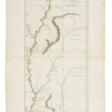
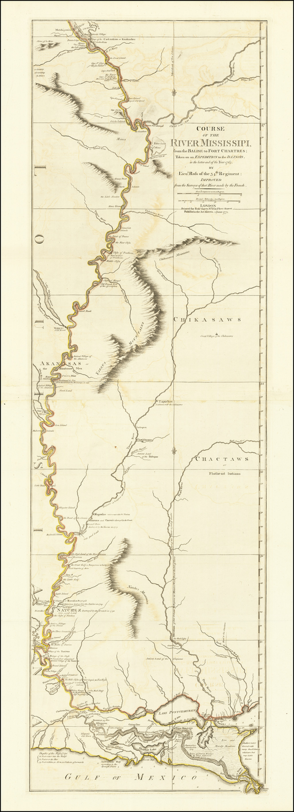
Lieutenant John Ross served as a surveyor in the 34th Regiment of the British Army. After the Treaty of Paris in 1763, a British expedition was sent into Illinois Territory to demand the surrender of Fort de Chartres, the last outpost under French control in the area. John Ross traveled with this expedition, surveyed the lower river to the mouth of the Mississippi River, and created a unique map. It was titled "The Course of the Mississippi River from Balise to Fort Chartres; taken on an Expedition to Illinois" and published in London in 1775.
Lieutenant Ross's large-scale map of the Mississippi River is one of the few large format maps of the Mississippi published in the 18th century. Ross's map was the first official English survey of the Lower Mississippi and one of the most historically significant American maps. It delineated British territorial acquisitions after the French and Indian War and then established the future western boundary of the new United States. The map opened the territory to settlement from the east and defined the western boundaries of the American colonies.
| Date and place of birt: | 1744, USA |
|---|---|
| Date and place of death: | 1809, USA |
| Period of activity: | XVIII, XIX century |
| Specialization: | Cartographer, Engineer, Geographer |