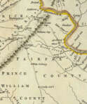
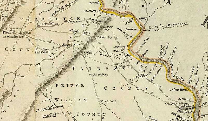
Thomas Jefferys was an 18th-century British cartographer and geographer, engraver and publisher.
As the best in the business of map-making, Jefferys held the honorary title of "King George III's geographer". He is known for his detailed and large-scale maps of the districts and counties of Great Britain as well as North America, particularly Virginia (1776). He was the leading map supplier of his day, engraving and printing maps for government and other official bodies.
The website has 5 types of users with different functions. Choose a suitable one from the list. Use the help tips that are attached to each of the user type.
Buyer
Artist and designer
Please, enter your email address with which you registered. You will receive a link to this address for changing the password.