ertl 1/16
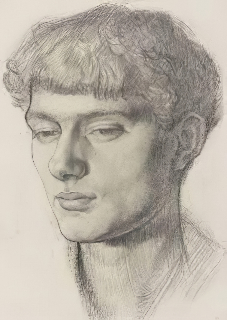
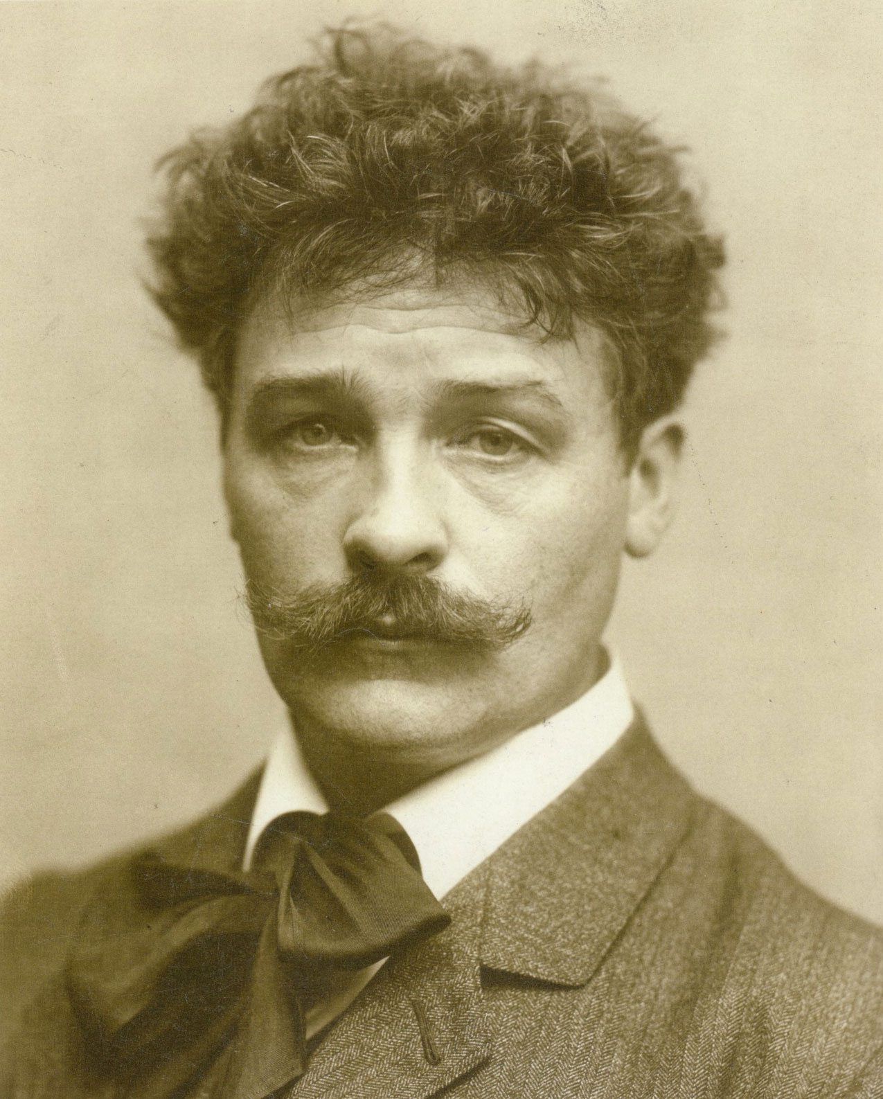
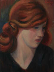
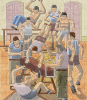
Mark Gertler was a British painter of figure subjects, portraits and still-life.
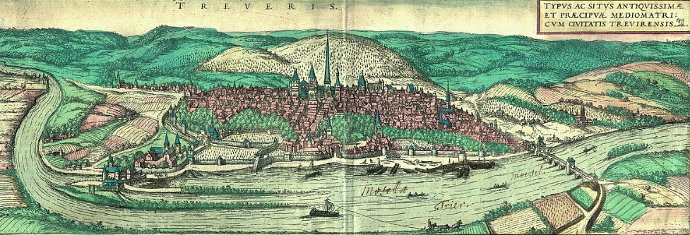
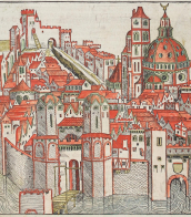
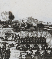
Frans Hogenberg was a Flemish and German painter, engraver, and mapmaker. He is known for portraits and topographical views as well as historical allegories. He also produced scenes of contemporary historical events. Hogenberg was the author of graphic works, engravings of city views and maps of the first four volumes of the six-volume atlas Theatrum Orbis Terrarum (Description and drawings of the most famous cities in the world), published in 1570 by the Flemish geographer Abraham Ortelius. Hogenberg's engravings are an invaluable source of information about urban development in medieval Europe.
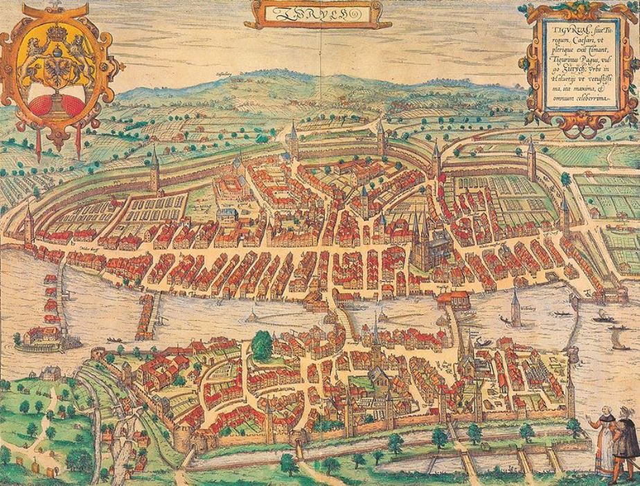
Georg Braun was a German topographical geographer, cartographer and publisher.
Braun was the editor-in-chief of the Civitates orbis terrarum, a groundbreaking atlas of cities, one of the major cartographic achievements of the 16th century. It was the first comprehensive and detailed atlas, with plans of the world's famous cities and bird's-eye views, and became one of the best-selling works of the time.
The book was prepared by Georg Braun in collaboration with the Flemish engraver and cartographer Frans Hoogenberg. Braun, as editor-in-chief, acquired tables, hired artists, and wrote the texts. They drew on existing maps as well as maps based on drawings by the Antwerp artist Joris Hofnagel and his son Jacob. Other authors include Pieter Bruegel the Elder (c. 1525-1569), Jacob van Deventer (c. 1505-1575), and more than a hundred other artists and engravers.
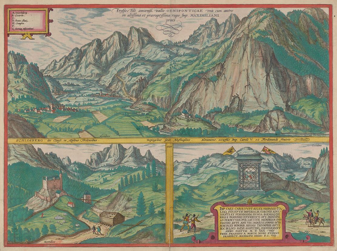
Simon Novellanus was a Dutch-born German artist, graphic artist and engraver who worked in Cologne in the second half of the 16th century.
He is known to have been a skilled engraver and collaborated with cartographer and engraver Franz Hogenberg in the production of books and atlases. Novellanus's sprawling, multi-layered landscapes are executed in a light and varied etching technique that creates intense light and atmosphere.
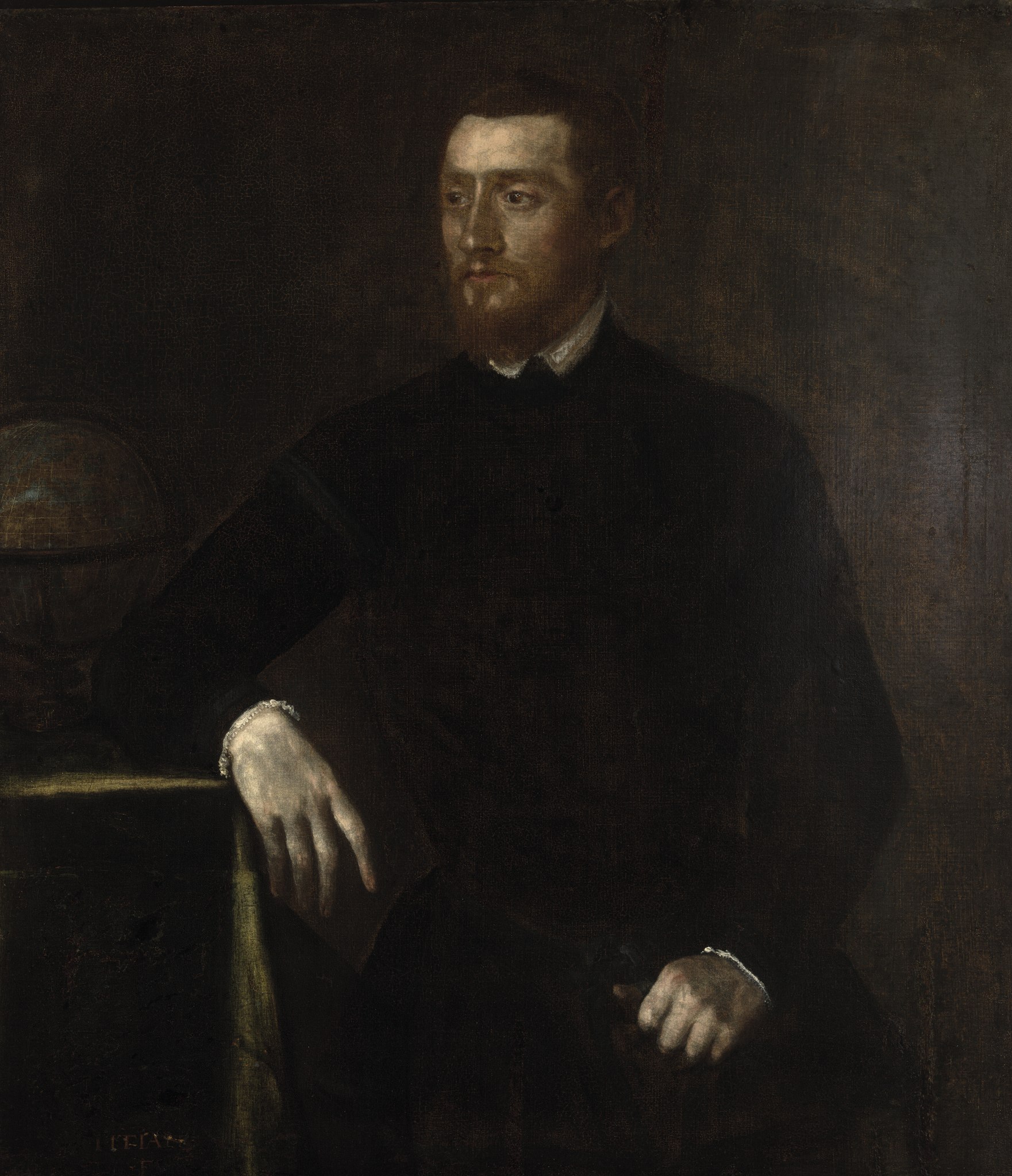
Gerardus Mercator, birth name Gheert Cremer was a Flemish geographer and cartographer, best known for the map projection that bears his name.
Gerardus Mercator was the first to use this equiangular cylindrical projection for drawing a navigational chart of the world on 18 sheets (1569). The Mercator projection is remarkable in that it does not distort angles and shapes and only keeps distances at the equator. It is currently used for nautical navigational and aeronautical charts. Although modern historical cartographic research has established that this projection was used as early as 1511, it is only by Mercator that it has become widely used.

