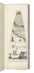
картография

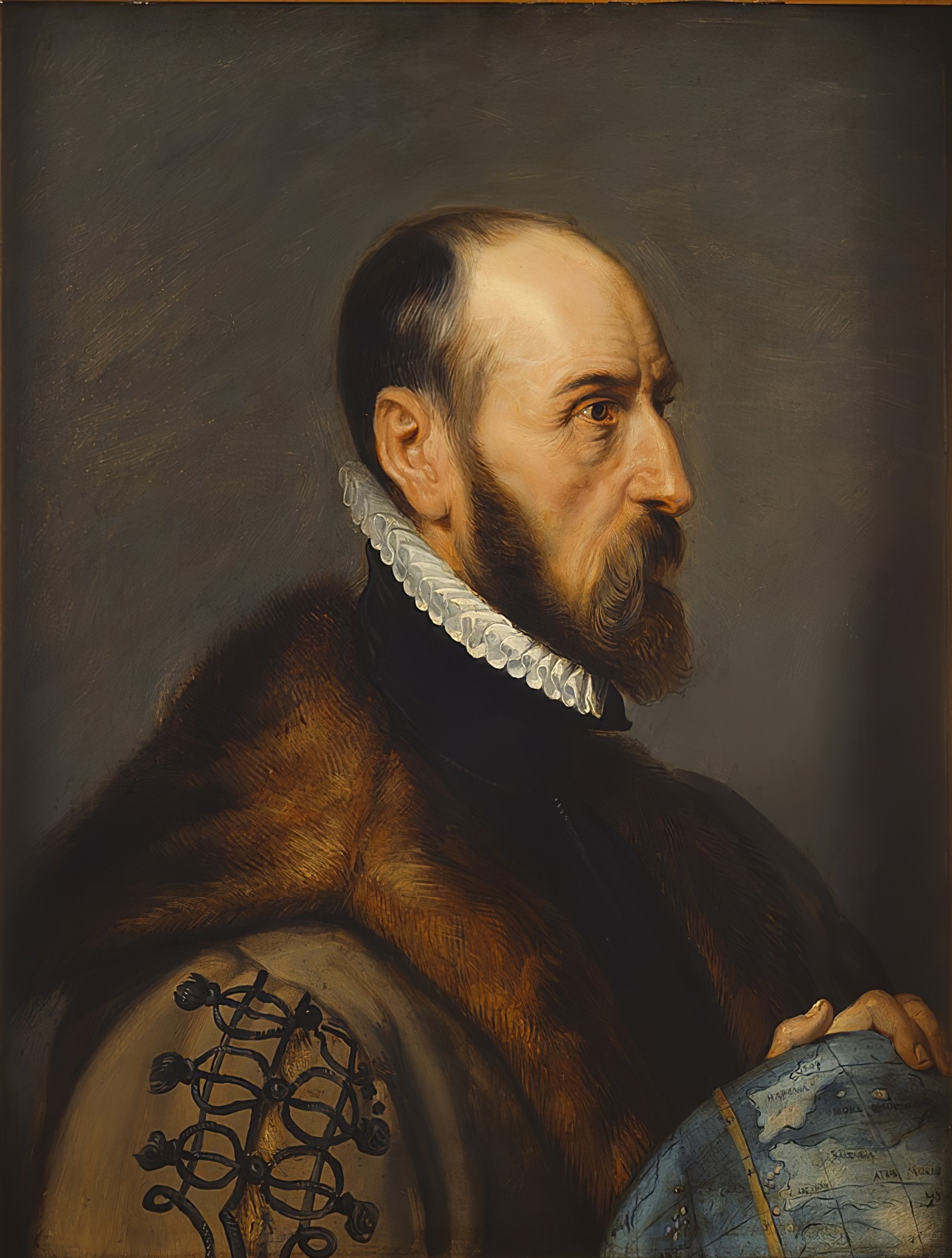
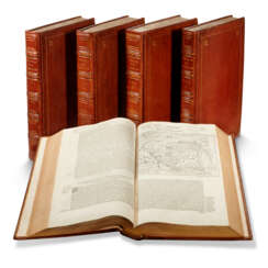
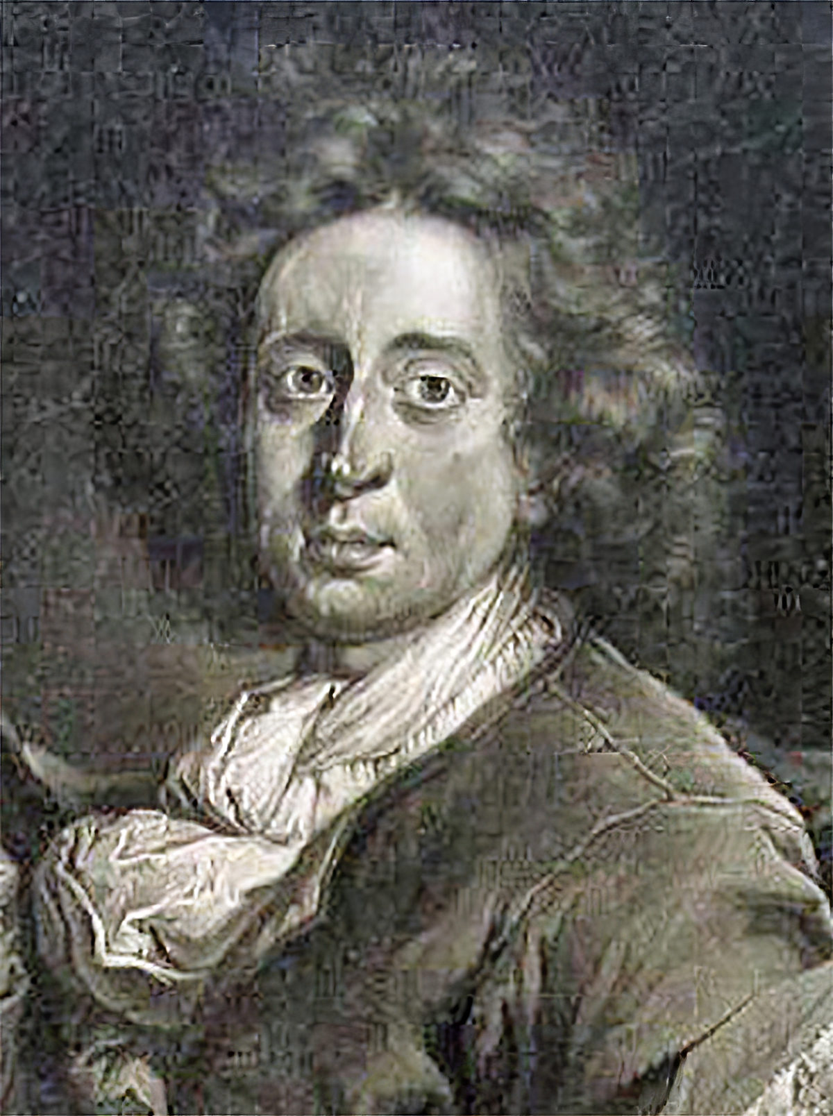
Abraham Ortelius (Ortels) was a Brabantian cartographer, geographer, and cosmographer. He is recognized as the creator of the first modern atlas, the Theatrum Orbis Terrarum (Theatre of the World). Along with Gemma Frisius and Gerardus Mercator, Ortelius is generally considered one of the founders of the Netherlandish school of cartography and geography. He was a notable figure of this school in its golden age (approximately 1570s–1670s) and an important geographer of Spain during the age of discovery. The publication of his atlas in 1570 is often considered as the official beginning of the Golden Age of Netherlandish cartography. He was the first person proposing that the continents were joined before drifting to their present positions. Beginning as a map-engraver, in 1547 he entered the Antwerp Guild of Saint Luke as an illuminator of maps. In 1560 when travelling with Mercator to Trier, Lorraine, and Poitiers, he seems to have been attracted, largely by Mercator's influence, towards the career of a scientific geographer. In 1564 he published his first map, Typus Orbis Terrarum, an eight-leaved wall map of the world. On 20 May 1570, Gilles Coppens de Diest at Antwerp issued Ortelius's Theatrum Orbis Terrarum, the "first modern atlas" (of 53 maps).
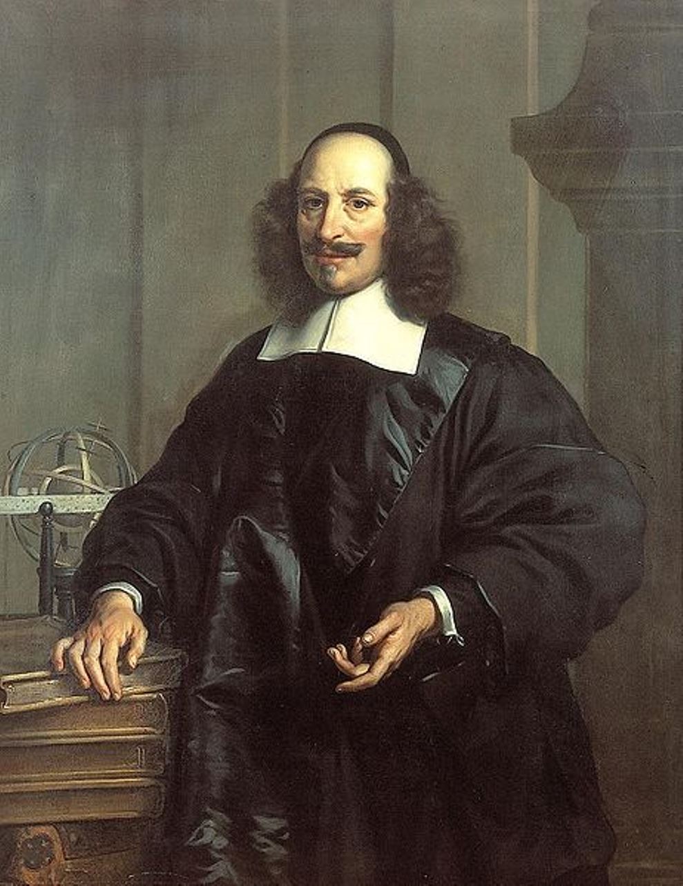
Jan (Joan) Willemsz. Blaeu was a Dutch cartographer, publisher and judge.
Jan was born into the family of the cartographer and publisher Willem Janszoon Blaeu (1571-1638). He studied in Leiden, where he earned a doctorate in law, and in Padua. He then began to assist his father, who was engaged in the manufacture of globes and maps. After his father's death, Jan, together with his brother Cornelius, continued his work, and succeeded him as cartographer for the Dutch East India Company.
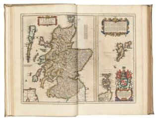
In 1651 Blaeu was elected to the Amsterdam city council and later appointed as a judge. At the same time, he was engaged in his publishing business: he continued to publish volumes of Atlas novus, which contained maps of English counties and, for the first time, an atlas of Scotland, as well as one volume of maps of the Far East.
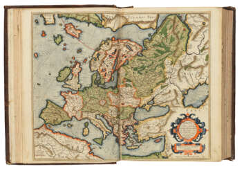
Blaeu did not have time to complete his most ambitious project, but it made him famous as the author of the famous 11-volume Dutch atlas. Based on his previous maps, Blaeu created the Great Atlas (Atlas Maior) - it contained nearly 600 maps and a total of 3,000 pages of Latin text - and was published in 1662. Blaeu's maps were groundbreaking for their time because they were created in accordance with the heliocentric theories of Nicolaus Copernicus.
In 1672, a great fire in Amsterdam destroyed Blaeu's workshop, and the cartographer died a year later, apparently never recovering from this stroke of fate.

