Maps & Atlases — Fine Printed Books and Manuscripts including Americana
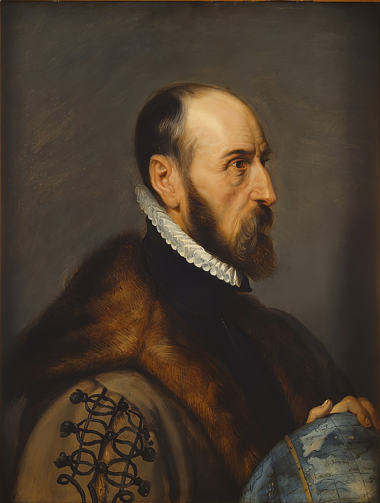
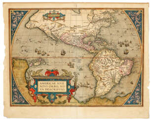
Abraham Ortelius (Ortels) was a Brabantian cartographer, geographer, and cosmographer. He is recognized as the creator of the first modern atlas, the Theatrum Orbis Terrarum (Theatre of the World). Along with Gemma Frisius and Gerardus Mercator, Ortelius is generally considered one of the founders of the Netherlandish school of cartography and geography. He was a notable figure of this school in its golden age (approximately 1570s–1670s) and an important geographer of Spain during the age of discovery. The publication of his atlas in 1570 is often considered as the official beginning of the Golden Age of Netherlandish cartography. He was the first person proposing that the continents were joined before drifting to their present positions. Beginning as a map-engraver, in 1547 he entered the Antwerp Guild of Saint Luke as an illuminator of maps. In 1560 when travelling with Mercator to Trier, Lorraine, and Poitiers, he seems to have been attracted, largely by Mercator's influence, towards the career of a scientific geographer. In 1564 he published his first map, Typus Orbis Terrarum, an eight-leaved wall map of the world. On 20 May 1570, Gilles Coppens de Diest at Antwerp issued Ortelius's Theatrum Orbis Terrarum, the "first modern atlas" (of 53 maps).
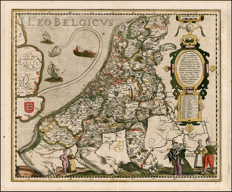
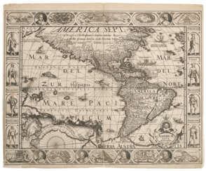
Pieter van der Keere (Latin: Petrus Kaerius) was a Flemish engraver, publisher, cartographer and globe maker.
His father was the master of typefaces Hendrik van der Keere (c. 1540-1580); in 1584 he fled from the Netherlands to London, where he lived most of his life. Pieter van der Keere produced engravings and atlases. From 1603, Kere began to produce large city panoramas, including Utrecht, Cologne, Amsterdam and Paris.
An atlas of the Netherlands was published in 1617, with der Keere's name as publisher and his full signature on several maps. He also produced topographical maps of Amsterdam and Nuremberg, as well as a world map ("Nova totius terrarum orbis..."), which was printed by Jan Janszoon in Amsterdam.
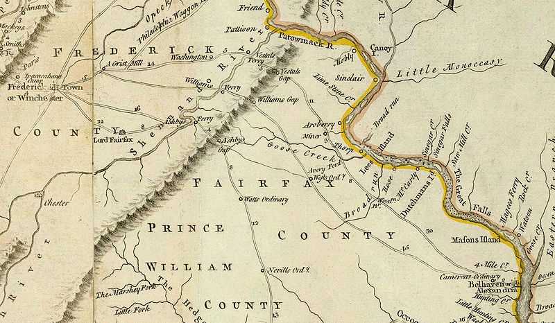
Thomas Jefferys was an 18th-century British cartographer and geographer, engraver and publisher.
As the best in the business of map-making, Jefferys held the honorary title of "King George III's geographer". He is known for his detailed and large-scale maps of the districts and counties of Great Britain as well as North America, particularly Virginia (1776). He was the leading map supplier of his day, engraving and printing maps for government and other official bodies.
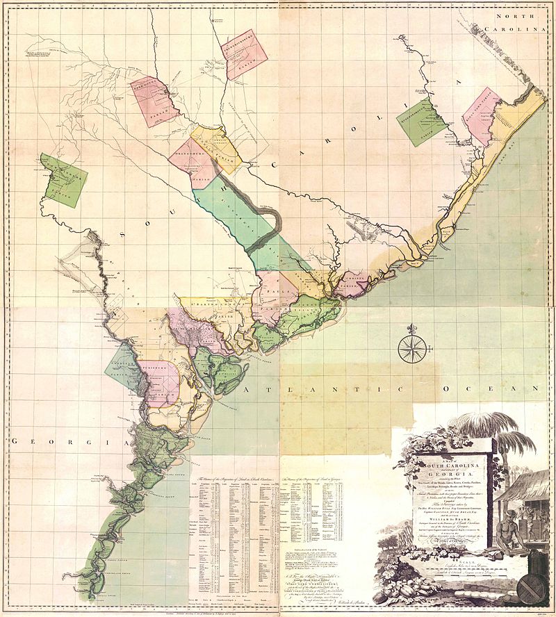
Johann Wilhelm Gerhard von Brahm, also known as John William Gerard de Brahm, was a German cartographer, military engineer, and surveyor who worked for Great Britain to develop the lands of the New World.
His father was court musician to the Elector of Trier and gave his son an excellent early education. After a successful career as a military engineer in the Bavarian army, de Brahm traveled to Georgia in 1751 at the head of a group of German emigrants. There he displayed his talents as a surveyor and engineer, worked as a cartographer, and was commissioned by South Carolina Governor James Glen to design and build a system of fortifications for Charleston.
In 1755 de Brahm was appointed inspector general of lands for South Carolina and soon for the entire New World. He settled in St. Augustine, where he spent the next six years researching and preparing maps. His major works, "Map of South Carolina" and "Map of South Carolina and Part of Georgia," provide detailed topography and even describe underwater features. And his "Report of a General Survey of the Southern District of North America" records every detail from tide times to tips on tilling the soil. De Brahm's book The Atlantic Pilot, an instruction manual for sailing in Florida, was published in London and included the first published map of the Gulf Stream.
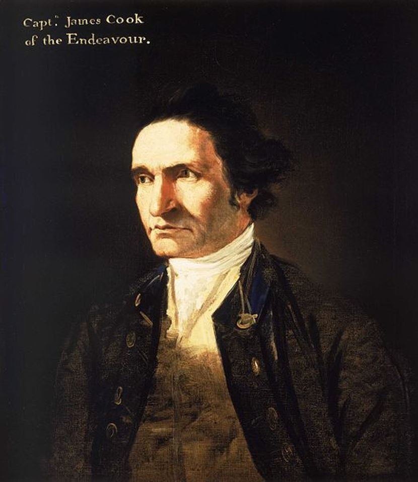
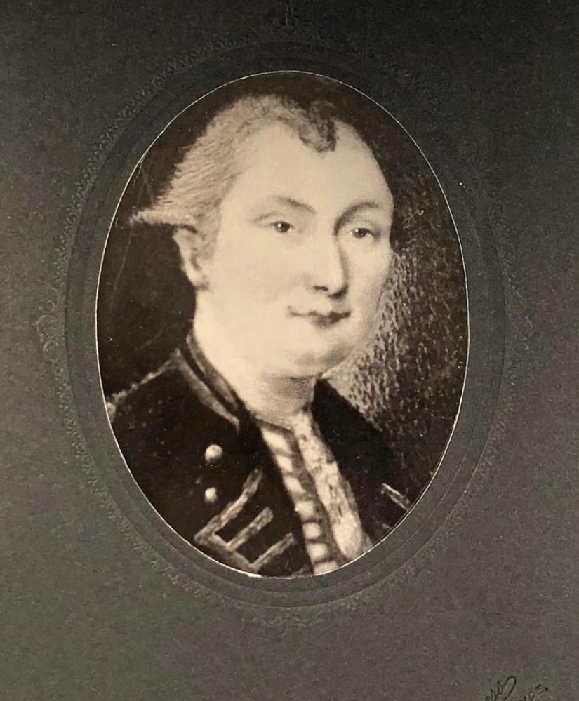
Samuel Johannes Holland was a Dutch-born British military engineer, surveyor and cartographer, and the first Inspector General of British North America.
He began his military career in 1745 in the Dutch artillery, moving to England in 1754 and becoming a lieutenant in the Royal American Army. In early 1756 Holland traveled with the British army to North America, where he created the first maps of New York State, worked as a military engineer, surveyed Louisbourg, Halifax, and Fort Fredericton, and participated in the siege of Quebec in 1759.
In 1764 Holland was appointed inspector general of the Northern District of North America and was appointed to the Quebec Council. From 1764 to 1767, he surveyed Prince Edward Island, the Madeleine Islands, and Cape Breton. He then mapped the northeast coast for the British army and helped negotiate provincial and state boundaries in the northeast. In 1779, Samuel Holland was appointed a member of the Legislative Council of Quebec and continued to serve as Inspector General for the rest of his life.
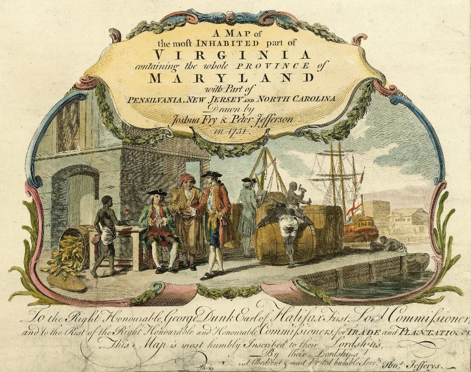
Peter Jefferson was an American cartographer and surveyor, father of the third President of the United States, Thomas Jefferson.
Peter Jefferson was the son of a large landowner in Virginia, and served as sheriff, surveyor, and justice of the peace. He was also a cartographer and surveyor. Along with Colonel and County Surveyor Joshua Fry, he spent several years exploring new lands. In 1750, Lewis Burwell, acting governor of Virginia, commissioned Frye and Jefferson to map the colony, which was done.
This map of early America was based on Frye and Jefferson's meticulous research and accurately delineated the boundaries, roads, settlements, and trails of the original inhabitants. It also included significant new geographic information reported by early wilderness travelers, including George Washington, Christopher Gist, and John Dalrymple. The map was completed in 1751 and engraved and published a few years later. Afterward, Jefferson worked on numerous surveying projects throughout Virginia.

William Henry Mouzon, Jr. was an American cartographer and civil engineer.
Henry Mouzon, Jr. was the grandson of a Huguenot immigrant and was sent to France at the age of eight, where he was trained as a civil engineer and surveyor. In 1771 he and Ephraim Mitchell were sent to survey the boundaries of South Carolina. As a result, a map was created and published in 1775 that included both North and South Carolina with corrections to previous maps.
This map was entitled "An Accurate Map of North and South Carolina with their Indian Boundaries," and clearly showed all the mountains, rivers, swamps, marshes, bogs, bays, creeks, harbors, sandbanks and shoals on the coasts, and gave the names of the land owners. American, British, and French troops used this map during the American Revolution. A copy of this map, owned by George Washington, is now in the library of the American Geographical Society.
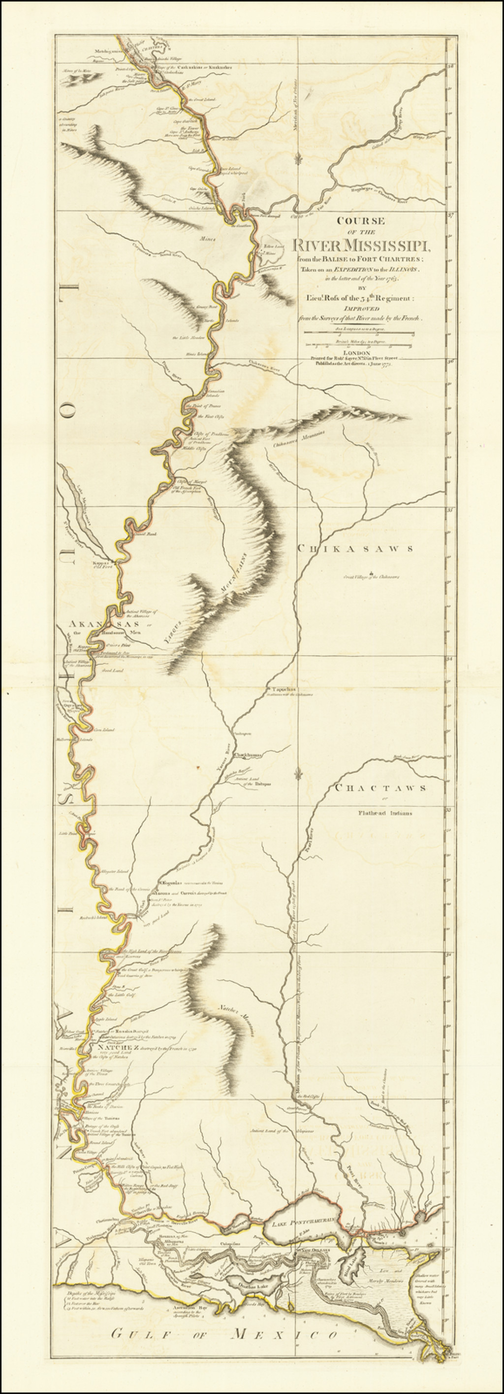
John Ross was an American military cartographer and surveyor.
Lieutenant John Ross served as a surveyor in the 34th Regiment of the British Army. After the Treaty of Paris in 1763, a British expedition was sent into Illinois Territory to demand the surrender of Fort de Chartres, the last outpost under French control in the area. John Ross traveled with this expedition, surveyed the lower river to the mouth of the Mississippi River, and created a unique map. It was titled "The Course of the Mississippi River from Balise to Fort Chartres; taken on an Expedition to Illinois" and published in London in 1775.
Lieutenant Ross's large-scale map of the Mississippi River is one of the few large format maps of the Mississippi published in the 18th century. Ross's map was the first official English survey of the Lower Mississippi and one of the most historically significant American maps. It delineated British territorial acquisitions after the French and Indian War and then established the future western boundary of the new United States. The map opened the territory to settlement from the east and defined the western boundaries of the American colonies.
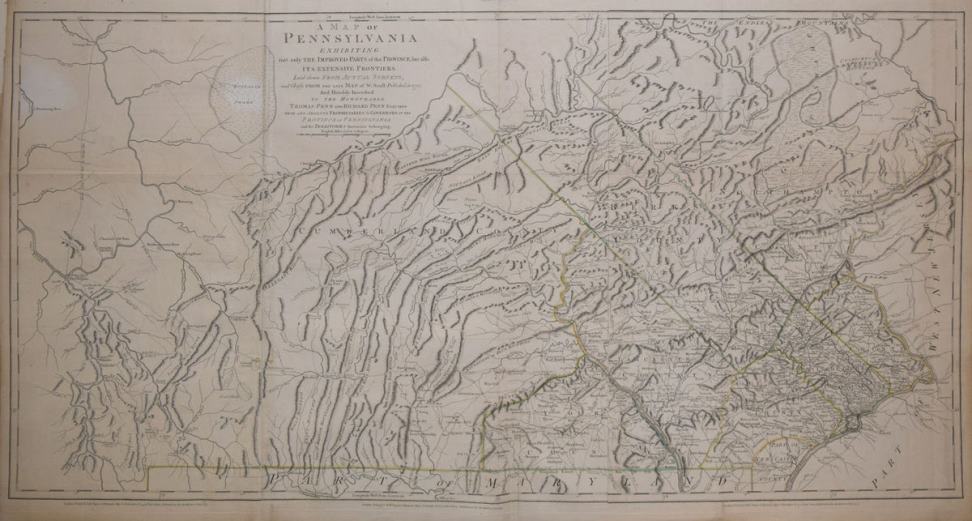
William Scull was an American cartographer and officer during the War of Independence.
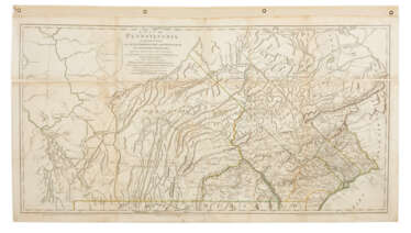
William Scull was an officer during the Revolutionary War and then lived in Philadelphia and worked as a cartographer. He was the grandson of the famous Nicholas Scull, who served as Surveyor General of Pennsylvania during the colonial era. William Scull, fulfilling a commission from Penn Brothers landowners, created the famous map of Pennsylvania with southern boundaries showing Philadelphia, Bucks, Northampton, Berks, Chester, Lancaster, Cumberland, and York counties. William based his work on a map created by his grandfather and supplemented and expanded it with his own 1769 surveys.
As a result, Scull's 1770 map is among the largest and finest maps produced in America in the eighteenth century. It was published and reprinted many times in England and France; it was often included in composite atlases containing related maps. William Scull served in the Geographical Department of the Continental Army and was also a member of the American Philosophical Society.

John Montresor was a British military engineer and cartographer who worked in North America.
His father was a military engineer and his youth was spent in British Gibraltar. Montresor studied in London, and in 1754 accompanied his father to North America when he was appointed chief engineer to Major General Edward Braddock's troops. John participated in various expeditions, delivered dispatches, and witnessed the sieges of Louisbourg and Quebec. During his service, he also did the necessary research and prepared maps of Acadia, the St. Lawrence River, and his route along the Kennebec River.
One of John Montresor's major accomplishments is the strategic map of the Hudson River, one of the most detailed maps of the New York City area during the American Revolution, first published in 1775. The map extends from Lake Champlain down the Hudson to Long Island, with insets of Lake Champlain and the White Hills in the upper Connecticut Valley.
John Montresor was promoted to captain in 1776, returned to England in 1779, and retired from the army. He died in prison 20 years later, accused of excessive spending while in the service.
