картография и путешествия
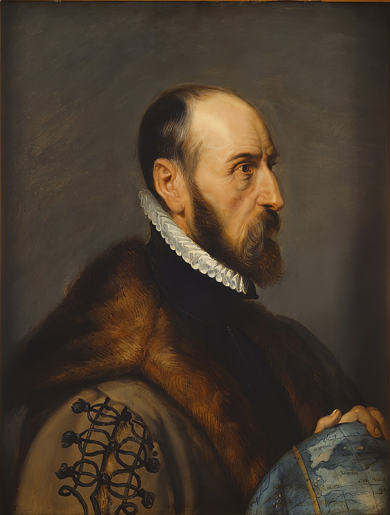
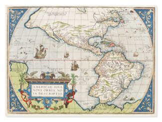
Abraham Ortelius (Ortels) was a Brabantian cartographer, geographer, and cosmographer. He is recognized as the creator of the first modern atlas, the Theatrum Orbis Terrarum (Theatre of the World). Along with Gemma Frisius and Gerardus Mercator, Ortelius is generally considered one of the founders of the Netherlandish school of cartography and geography. He was a notable figure of this school in its golden age (approximately 1570s–1670s) and an important geographer of Spain during the age of discovery. The publication of his atlas in 1570 is often considered as the official beginning of the Golden Age of Netherlandish cartography. He was the first person proposing that the continents were joined before drifting to their present positions. Beginning as a map-engraver, in 1547 he entered the Antwerp Guild of Saint Luke as an illuminator of maps. In 1560 when travelling with Mercator to Trier, Lorraine, and Poitiers, he seems to have been attracted, largely by Mercator's influence, towards the career of a scientific geographer. In 1564 he published his first map, Typus Orbis Terrarum, an eight-leaved wall map of the world. On 20 May 1570, Gilles Coppens de Diest at Antwerp issued Ortelius's Theatrum Orbis Terrarum, the "first modern atlas" (of 53 maps).
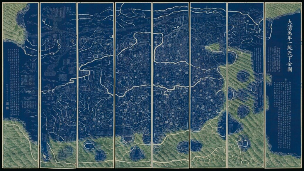
Qianren Huang was a Chinese cartographer and clerk who worked in the 18th century during the reign of the Qianlong Emperor.
His grandfather, Huang Zongxi (1610-1695), was a famous Qing Chinese polymath, Confucian scholar, cartographer, and father of the Chinese Enlightenment.
Qianren Huang is known for his 1767 revision of the map created by his grandfather Huang Zongxi, the so-called famous "Blue Map" of the world. Continuing the family tradition of outstanding scientific achievements, his grandson pointed out the addition of new territories such as Tibet and Xinjiang on the updated map, emphasizing the continuous strengthening of the Chinese state.
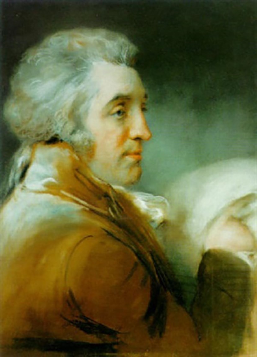
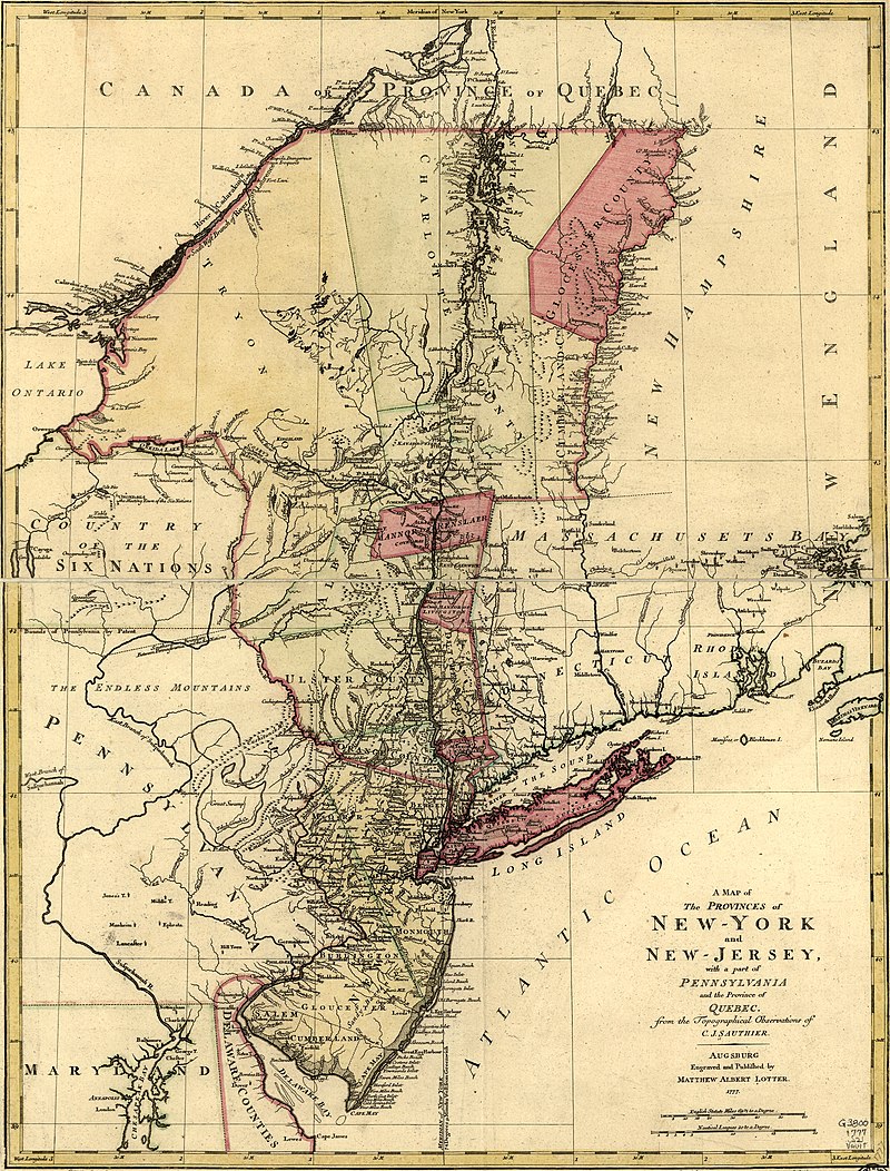
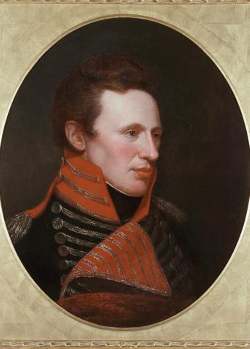
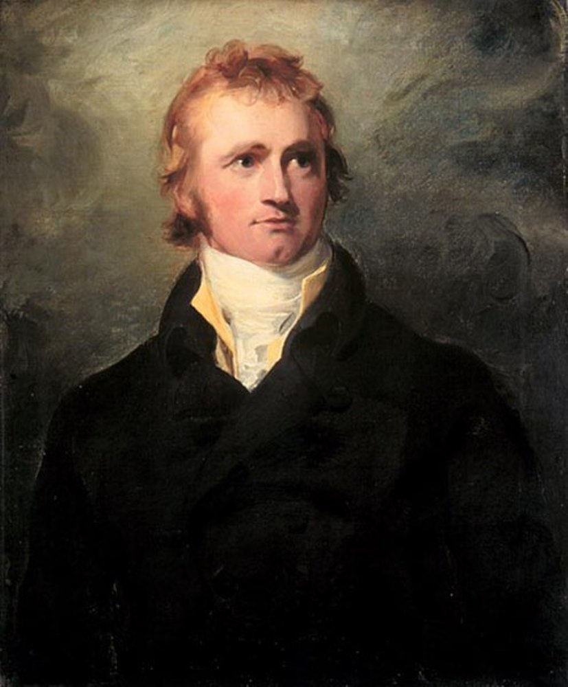

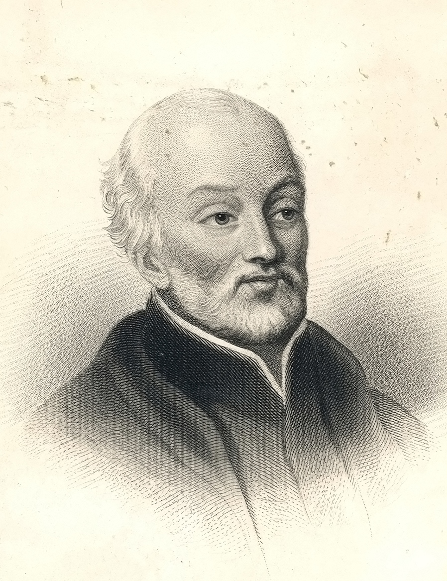

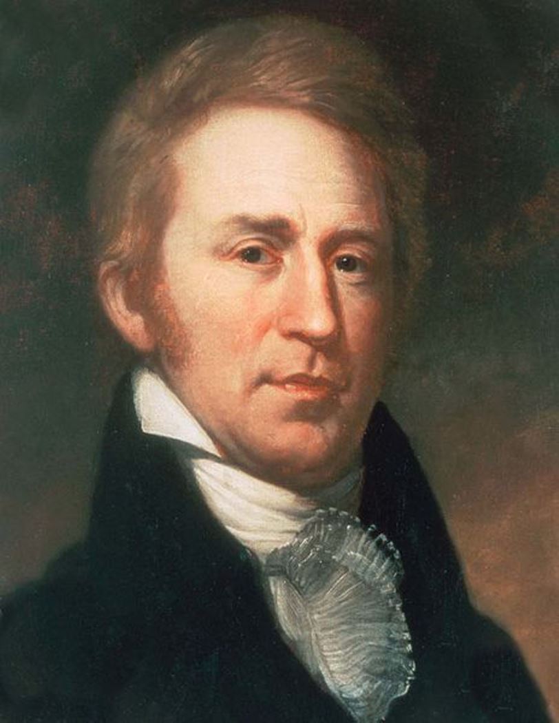
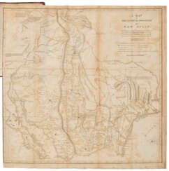
William Clark, an American frontiersman, is best known for co-leading the epic Lewis and Clark Expedition alongside Meriwether Lewis from 1804 to 1806. This journey was a monumental exploration of the American West, extending to the Pacific Northwest, which laid the foundation for westward expansion and significantly contributed to the nation's knowledge of the vast territory.
Before his fame as an explorer, William Clark had a substantial military career, beginning with his service in the militia and the U.S. Army during the Northwest Indian War. His experiences in the military, including participation in the Battle of Fallen Timbers, honed his leadership and survival skills, which were crucial for the success of the Lewis and Clark Expedition.
Following the expedition, William Clark continued to serve in significant roles, including as the governor of Missouri Territory and as a superintendent of Indian Affairs. His later years were dedicated to managing relations with various Native American tribes, navigating the complexities of the expanding American frontier.
For collectors and experts in art, history, and antiques, William Clark's life and contributions offer a fascinating lens through which to explore the early 19th-century American narrative. His maps, journals, and other related artifacts provide a unique perspective on this formative period in U.S. history.
To stay informed about new discoveries, exhibitions, and auction events related to William Clark, consider subscribing for updates. This subscription will provide you with valuable insights into the lasting impact of Clark's legacy on American culture and history.

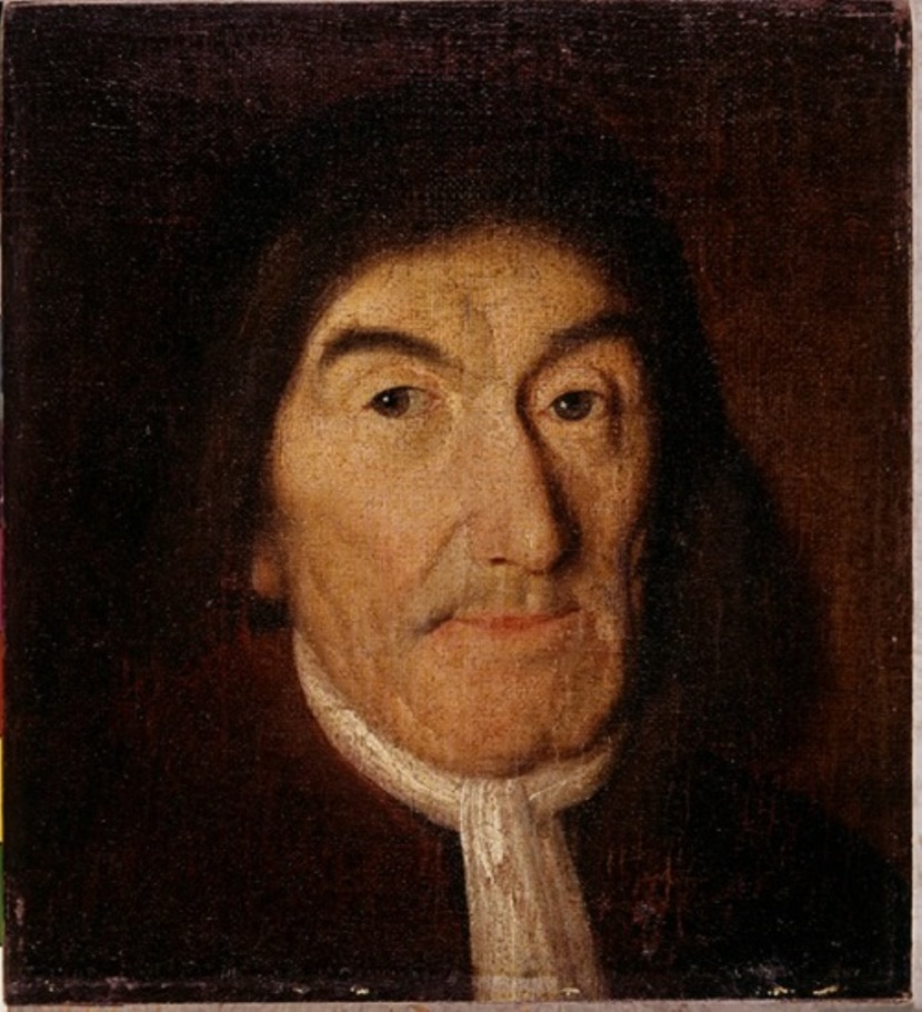

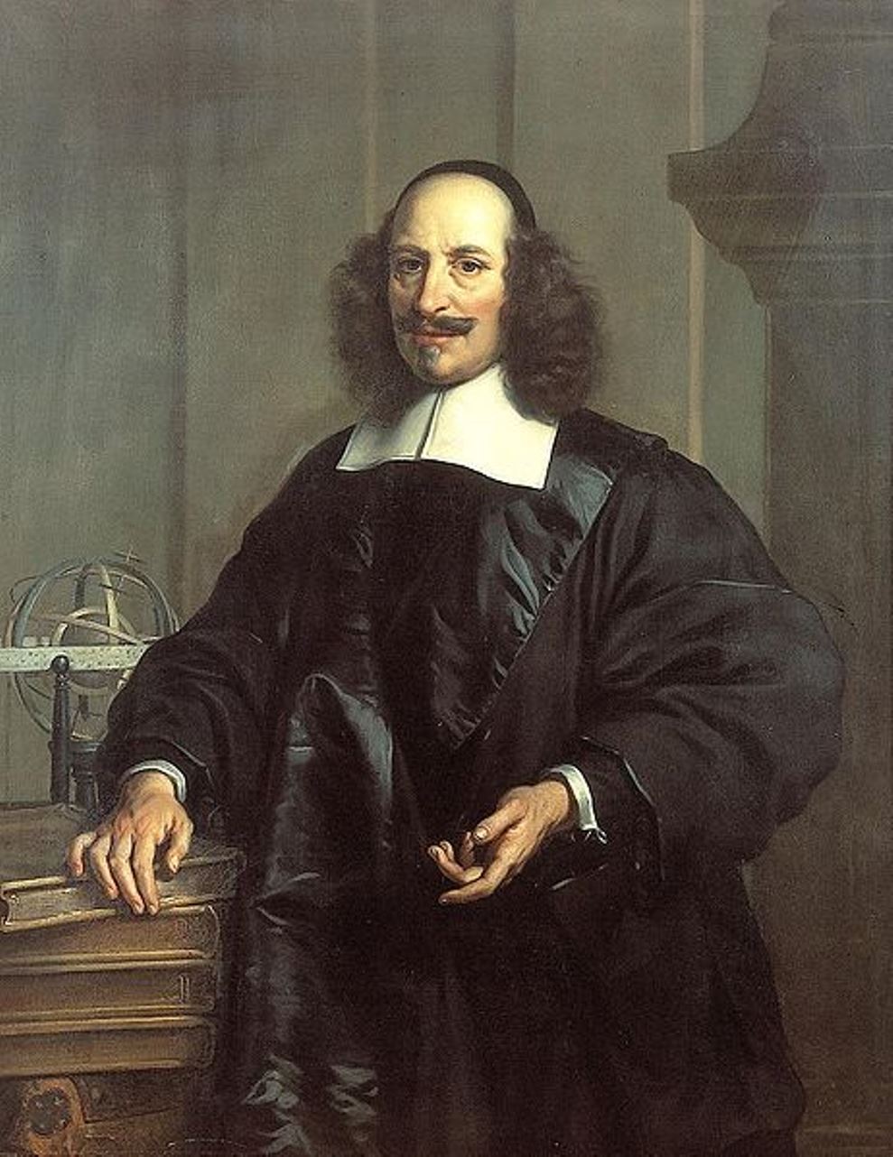
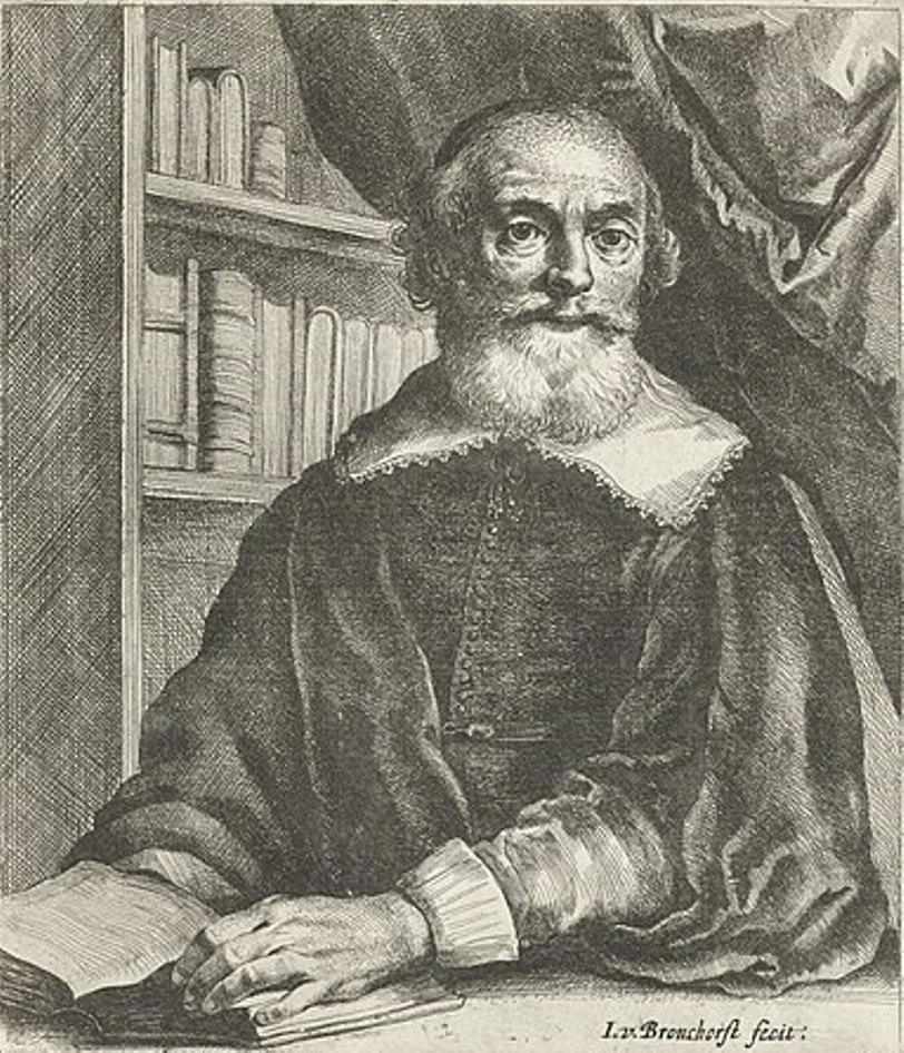
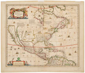
Jan (Joan) Willemsz. Blaeu was a Dutch cartographer, publisher and judge.
Jan was born into the family of the cartographer and publisher Willem Janszoon Blaeu (1571-1638). He studied in Leiden, where he earned a doctorate in law, and in Padua. He then began to assist his father, who was engaged in the manufacture of globes and maps. After his father's death, Jan, together with his brother Cornelius, continued his work, and succeeded him as cartographer for the Dutch East India Company.
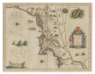
In 1651 Blaeu was elected to the Amsterdam city council and later appointed as a judge. At the same time, he was engaged in his publishing business: he continued to publish volumes of Atlas novus, which contained maps of English counties and, for the first time, an atlas of Scotland, as well as one volume of maps of the Far East.
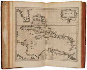
Blaeu did not have time to complete his most ambitious project, but it made him famous as the author of the famous 11-volume Dutch atlas. Based on his previous maps, Blaeu created the Great Atlas (Atlas Maior) - it contained nearly 600 maps and a total of 3,000 pages of Latin text - and was published in 1662. Blaeu's maps were groundbreaking for their time because they were created in accordance with the heliocentric theories of Nicolaus Copernicus.
In 1672, a great fire in Amsterdam destroyed Blaeu's workshop, and the cartographer died a year later, apparently never recovering from this stroke of fate.

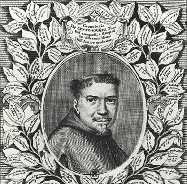

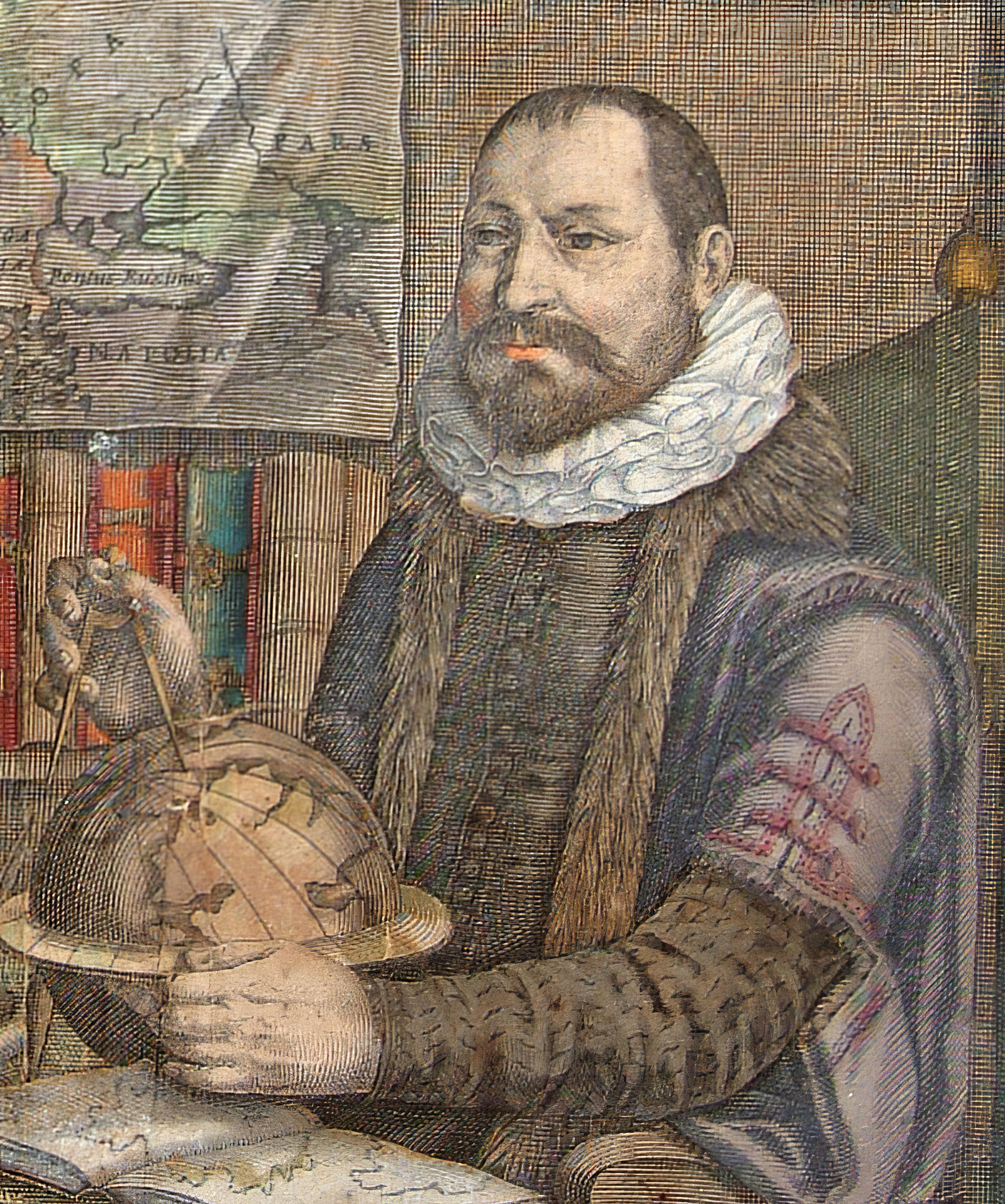

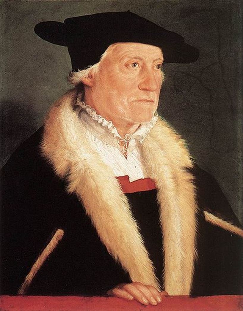
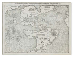
Sebastian Münster was a German Renaissance scholar, cartographer and cosmographer, historian and linguist-translator.
Münster studied at the University of Tübingen and later taught at the Universities of Basel and Heidelberg. He published several editions of Hebrew grammars and translations from that language, and was the first German to produce an edition of the Hebrew Bible.
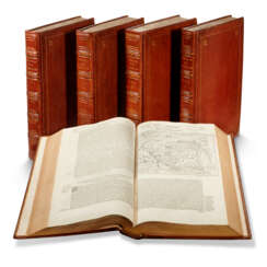
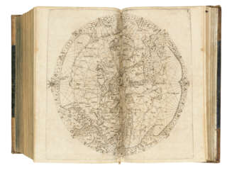
In 1544 Münster published his Cosmographia, which was the earliest description of the history, geography, and organization of the world in German. This book was a great success, translated into many European languages and reprinted more than twenty times. "Cosmographia" contained many illustrations and geographical maps of the continents of the world, created by the best engravers of the time.
Among his other works were the "Trilingual Dictionary" (1530) in Latin, Greek, and Hebrew and the "Map of Europe" (1536).


Abraham Ortelius (Ortels) was a Brabantian cartographer, geographer, and cosmographer. He is recognized as the creator of the first modern atlas, the Theatrum Orbis Terrarum (Theatre of the World). Along with Gemma Frisius and Gerardus Mercator, Ortelius is generally considered one of the founders of the Netherlandish school of cartography and geography. He was a notable figure of this school in its golden age (approximately 1570s–1670s) and an important geographer of Spain during the age of discovery. The publication of his atlas in 1570 is often considered as the official beginning of the Golden Age of Netherlandish cartography. He was the first person proposing that the continents were joined before drifting to their present positions. Beginning as a map-engraver, in 1547 he entered the Antwerp Guild of Saint Luke as an illuminator of maps. In 1560 when travelling with Mercator to Trier, Lorraine, and Poitiers, he seems to have been attracted, largely by Mercator's influence, towards the career of a scientific geographer. In 1564 he published his first map, Typus Orbis Terrarum, an eight-leaved wall map of the world. On 20 May 1570, Gilles Coppens de Diest at Antwerp issued Ortelius's Theatrum Orbis Terrarum, the "first modern atlas" (of 53 maps).

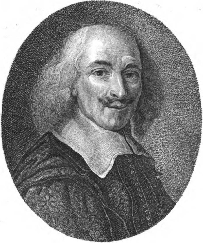
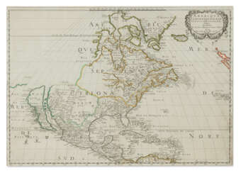
Nicolas Sanson the Elder (Nicolas Sanson d’Abbeville) was a French cartographer who served under two kings in matters of geography. He has been called the "father of French cartography." He gave lessons in geography both to Louis XIII and to Louis XIV. Active from 1627, Sanson issued his first map of importance, the "Postes de France". After publishing several general atlases himself he became the associate of Pierre Mariette, a publisher of prints. He died in Paris on 7 July 1667. Two younger sons succeeded him as geographers to the king. Sanson's maps were used as a model by his son, Guillaume, and, at least initially, by Duval, his nephew, in his 1664 folio map and 1660 atlas minor map. In 1692 Hubert Jaillot collected Sanson's maps in an Atlas nouveau.


