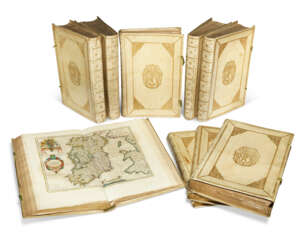
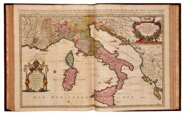
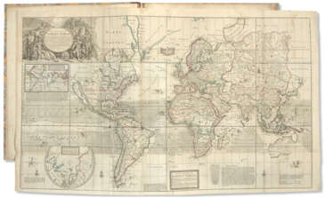
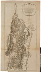
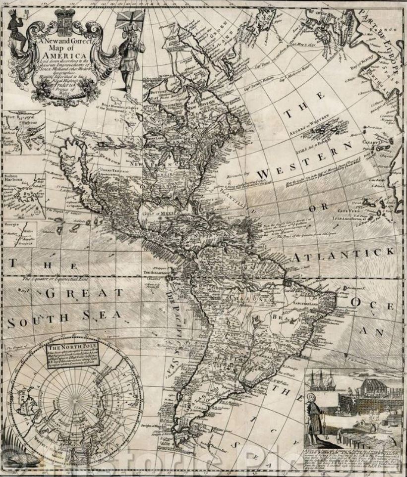
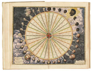
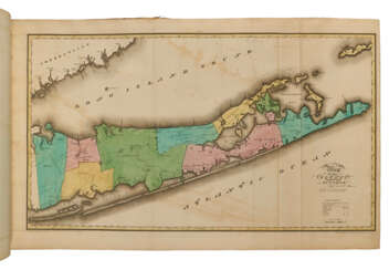
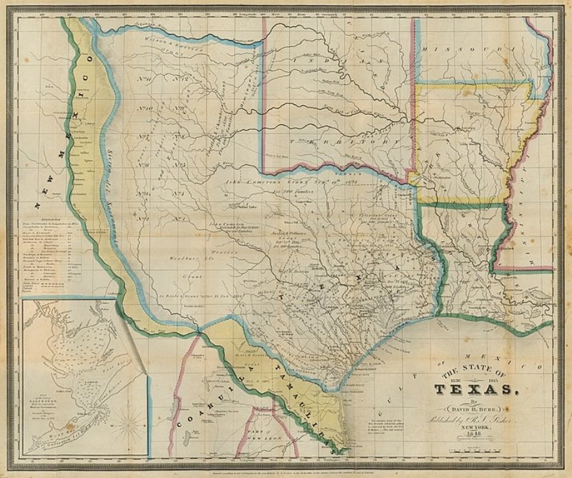
maps & atlases


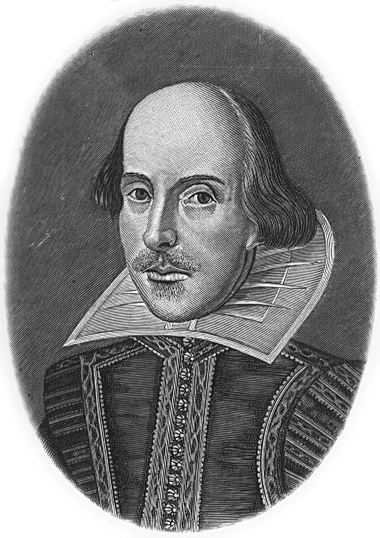
William Shakespeare was a British poet and playwright and writer.
William's father, John Shakespeare, was a merchant and official in Stratford. There are reports that he was a sailor for a time before joining a theater company in London. Beginning in the 1590s, Shakespeare began writing plays, and in 1593 he published a poem, Venus and Adonis, which became popular. He dedicated it to the Duke of Southampton, who was a philanthropist and patron of talent, and soon his business was booming.
From 1592 to 1600 Shakespeare wrote his dramas and romantic comedies "Richard III", "The Taming of the Shrew", "Romeo and Juliet", "A Midsummer Night's Dream" and "The Merchant of Venice", as well as the comedies "Much Ado About Nothing", "Twelfth Night" and the tragedy "Julius Caesar". The playwright's business was so successful that he even bought a large house in Stratford. In 1599, Shakespeare became one of the owners, playwright and actor of the new theater "Globe". In 1603 King James took Shakespeare's troupe under his direct patronage. In the mature period, the great playwright turned to tragedies, there were "Hamlet", "Othello", "King Lear", "Macbeth" and others.
Although in the 19th century researchers had some doubts about the authorship of many of these works, William Shakespeare is considered the greatest English playwright, one of the best playwrights in the world. His plays have been translated into all major languages and to this day form the basis of the world theatrical repertoire, most of them have been screened many times. According to the Guinness Book of Records, Shakespeare remains the world's best-selling playwright, and his plays and poems have sold more than 4 billion copies in the nearly 400 years since his death.

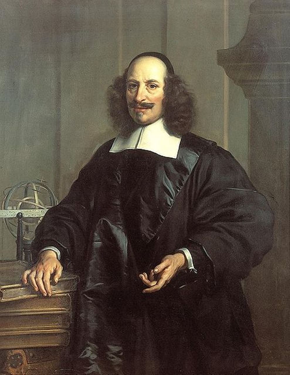
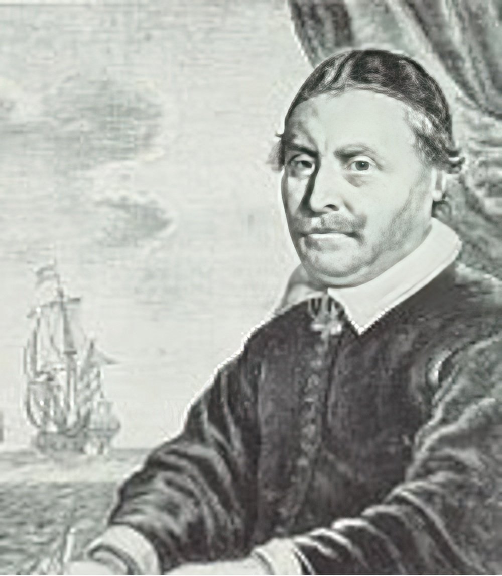
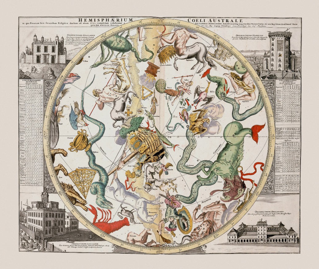
Jan (Joan) Willemsz. Blaeu was a Dutch cartographer, publisher and judge.
Jan was born into the family of the cartographer and publisher Willem Janszoon Blaeu (1571-1638). He studied in Leiden, where he earned a doctorate in law, and in Padua. He then began to assist his father, who was engaged in the manufacture of globes and maps. After his father's death, Jan, together with his brother Cornelius, continued his work, and succeeded him as cartographer for the Dutch East India Company.
In 1651 Blaeu was elected to the Amsterdam city council and later appointed as a judge. At the same time, he was engaged in his publishing business: he continued to publish volumes of Atlas novus, which contained maps of English counties and, for the first time, an atlas of Scotland, as well as one volume of maps of the Far East.
Blaeu did not have time to complete his most ambitious project, but it made him famous as the author of the famous 11-volume Dutch atlas. Based on his previous maps, Blaeu created the Great Atlas (Atlas Maior) - it contained nearly 600 maps and a total of 3,000 pages of Latin text - and was published in 1662. Blaeu's maps were groundbreaking for their time because they were created in accordance with the heliocentric theories of Nicolaus Copernicus.
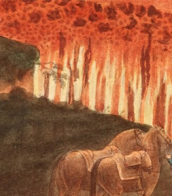
In 1672, a great fire in Amsterdam destroyed Blaeu's workshop, and the cartographer died a year later, apparently never recovering from this stroke of fate.
Willem Janszoon Blaeu was a Dutch cartographer and map publisher.
Willem studied astronomy and cartography under the Danish astronomer Tycho Brahe and even discovered the variable star P Swan in 1600. A little later Blaeu settled in Amsterdam, where he began making globes and also began producing land and sea maps, including a 1605 world map. In 1629 he managed to acquire the printing plates of the cartographer Jodok Hondius, with which he published his own atlas.
In 1633, Willem Blaeu was appointed cartographer of the Dutch Republic, as well as the official cartographer of the Dutch East India Company. Blau built up a large collection of maps and conducted an extensive publishing business. After Willem's death, his sons Jan Blaeu (1596-1673) and Cornelius Blaeu successfully continued his work. But in 1672, during a fire in Amsterdam, Blaeu's workshop was destroyed, and the company founded by Willem Blaeu ceased to exist in 1698.

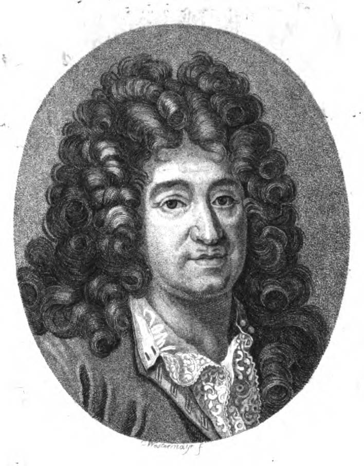
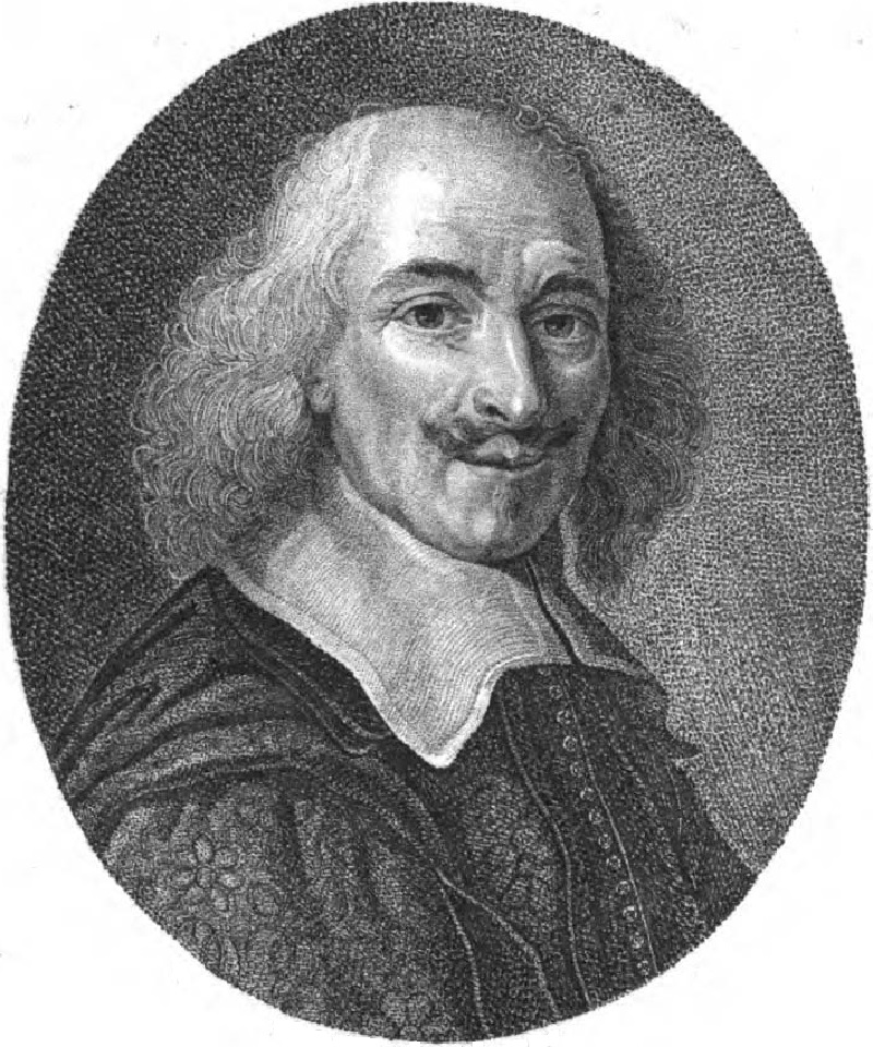
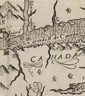
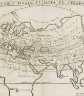
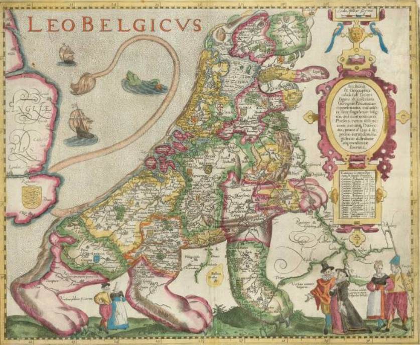
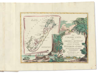
Nicolas Sanson the Elder (Nicolas Sanson d’Abbeville) was a French cartographer who served under two kings in matters of geography. He has been called the "father of French cartography." He gave lessons in geography both to Louis XIII and to Louis XIV. Active from 1627, Sanson issued his first map of importance, the "Postes de France". After publishing several general atlases himself he became the associate of Pierre Mariette, a publisher of prints. He died in Paris on 7 July 1667. Two younger sons succeeded him as geographers to the king. Sanson's maps were used as a model by his son, Guillaume, and, at least initially, by Duval, his nephew, in his 1664 folio map and 1660 atlas minor map. In 1692 Hubert Jaillot collected Sanson's maps in an Atlas nouveau.


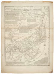
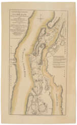
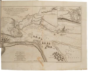
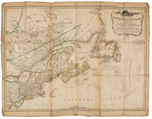
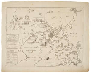
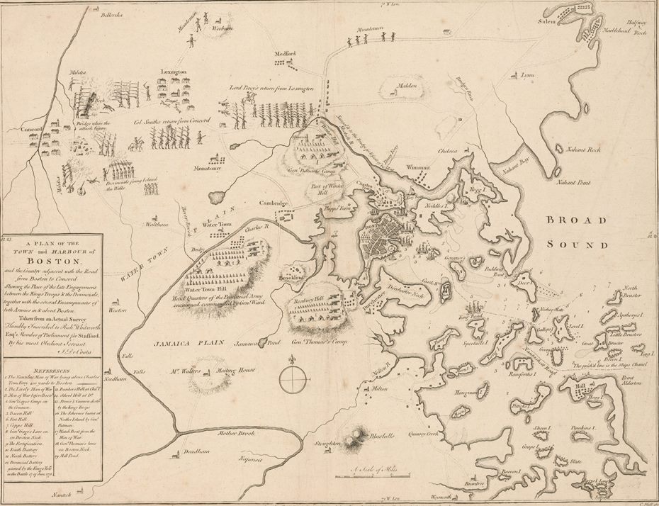
![[FOSTER, George (fl. 1735-1740)] – Robert SAYER (1735-1794).](/assets/image/picture_4084812/eead4/rh5-akqejyjmaug43ncvjup-kaf74qit0wesbihrffucjgdpjhfhqhahybonknkw1719908507jpg__fix_374_244.jpeg)
![[FOSTER, George (fl. 1735-1740)] – Robert SAYER (1735-1794).](https://veryimportantlot.com/assets/image/picture_4084812/eead4/rh5-akqejyjmaug43ncvjup-kaf74qit0wesbihrffucjgdpjhfhqhahybonknkw1719908507jpg__fix_374_244.jpeg)
![[FOSTER, George (fl. 1735-1740)] – Robert SAYER (1735-1794).](/assets/image/picture_4361590/74b5a/13dca103bbf8f022f3e8439e6036e3811733871600jpg__fix_374_244.jpeg)
![[FOSTER, George (fl. 1735-1740)] – Robert SAYER (1735-1794).](https://veryimportantlot.com/assets/image/picture_4361590/74b5a/13dca103bbf8f022f3e8439e6036e3811733871600jpg__fix_374_244.jpeg)

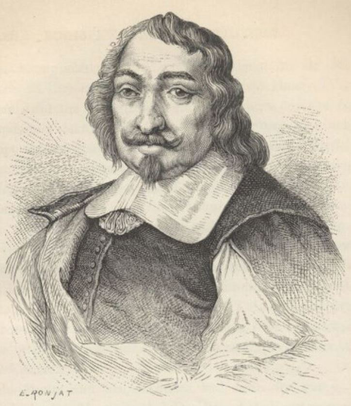
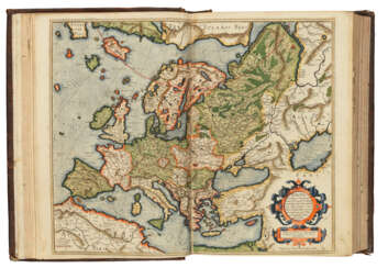
Johannes Janssonius was a Dutch cartographer, printer and publisher.
In 1616 Janssonius created his first maps of France and Italy, and every year he expanded and improved their publishing. The so-called "Great Atlas" already numbered eleven volumes. The editions were printed in Dutch, Latin, French and German.

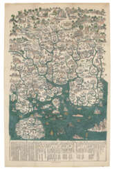
![VISSCHER, Nicolaes, II (1649-1702) [and Elizabeth VISSCHER (fl.1702-1726)]](/assets/image/picture_4084580/9963a/3crheit0onn8d00dvgq0ob8-udmpgqincbfiejjep8fv8qql0z2uup-dvdvgi00l1719907278jpg__fix_374_244.jpeg)
![VISSCHER, Nicolaes, II (1649-1702) [and Elizabeth VISSCHER (fl.1702-1726)]](https://veryimportantlot.com/assets/image/picture_4084580/9963a/3crheit0onn8d00dvgq0ob8-udmpgqincbfiejjep8fv8qql0z2uup-dvdvgi00l1719907278jpg__fix_374_244.jpeg)


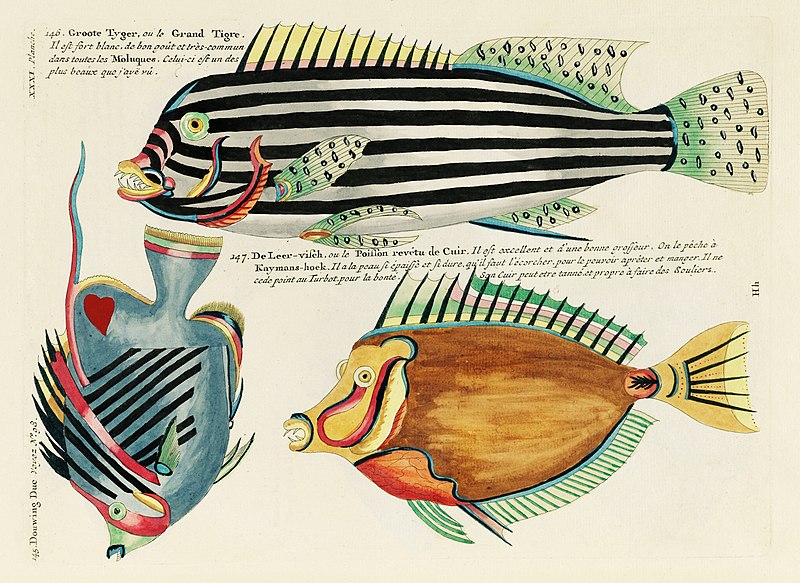
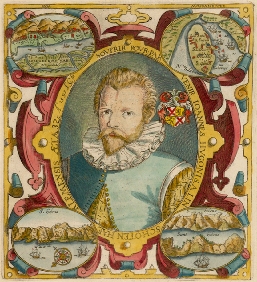
Louis Renard was a Dutch painter, printmaker and book publisher born in France.
Renard published map atlases and illustrated works of natural history popular in 18th-century Europe. In Amsterdam he acquired many cartographic plates by Frederick de Wit, which he combined with minor updates and corrections into an Atlas of Navigation and Commerce and published in 1715. He later sold the plates to R. & J. Ottens, who republished it in 1745.
In 1718 -1719 Renard published the first edition of his most famous multi-volume work, Poissons, écrevisses et crabes... que l'on trouve autour des Isles Moluques, et sur les cotes des Terres Australes ("Fish, crayfish and crabs, of varied colors and unusual forms, which are found around the Moluccas Islands and on the coasts of the southern lands."). This book was the world's first encyclopedia of fish illustrated in color. While working on it, Renard copied drawings by other artists, notably the talented Dutch artist Samuel Fallors. The result was 460 hand-colored copperplate prints.
The creatures in Renard's book are so fanciful that they may seem fictional, but only about 10 percent are, including the depiction of a mermaid. Most likely, these fantasies were included for the sake of attracting buyers. The work is now believed to be an important part of eighteenth-century scientific literature.
Reinier & Joshua Ottens was a Dutch printing publishing partnership of two brothers.
The publishing house was founded in 1726 in Amsterdam by brothers Reinier Ottens (1698-1750) and Joshua Ottens (1704-1765). After the death of Reinier I, his son Reinier II continued the business until 1765. Much of the activity of this business consisted of reissuing old plates.


Willem Janszoon Blaeu was a Dutch cartographer and map publisher.
Willem studied astronomy and cartography under the Danish astronomer Tycho Brahe and even discovered the variable star P Swan in 1600. A little later Blaeu settled in Amsterdam, where he began making globes and also began producing land and sea maps, including a 1605 world map. In 1629 he managed to acquire the printing plates of the cartographer Jodok Hondius, with which he published his own atlas.
In 1633, Willem Blaeu was appointed cartographer of the Dutch Republic, as well as the official cartographer of the Dutch East India Company. Blau built up a large collection of maps and conducted an extensive publishing business. After Willem's death, his sons Jan Blaeu (1596-1673) and Cornelius Blaeu successfully continued his work. But in 1672, during a fire in Amsterdam, Blaeu's workshop was destroyed, and the company founded by Willem Blaeu ceased to exist in 1698.


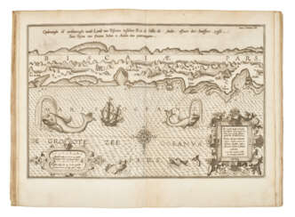

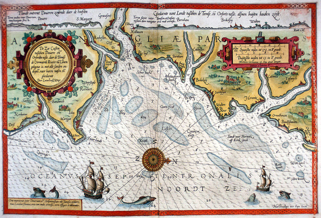
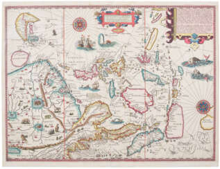
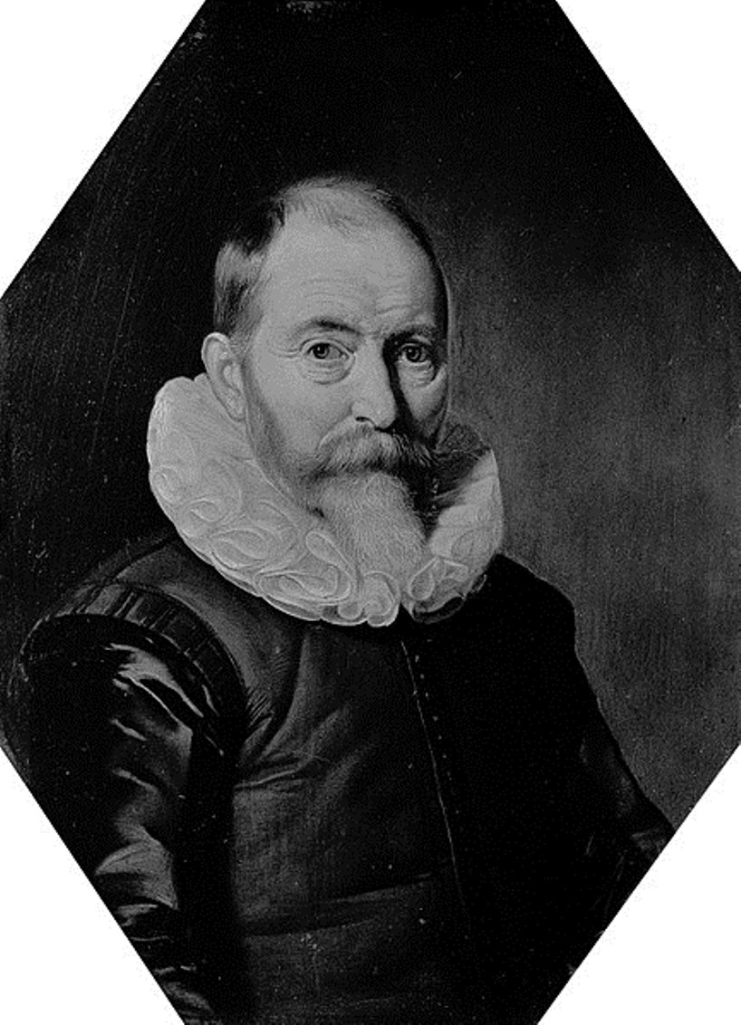
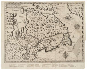
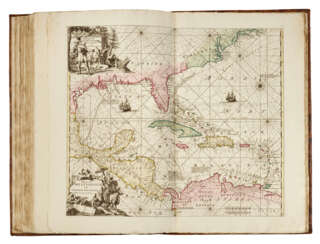
Lucas Waghenaer, full name Lucas Janszoon Waghenaer, was a famous Dutch cartographer, navigator, navigator and writer of the Golden Age.
Between 1550 and 1579, Waghenaer sailed the seas as a senior assistant captain and probably socialized with Portuguese, Spanish, and Italian navigators. The knowledge of nautical charts and the instructions Waghenaer received as a result of these contacts had a great influence on his later work as a cartographer. It is evident that the charts he made had to be based on his observations, and in all his work he had to draw on his own extensive experience of practical navigation. His book Spieghel der Zeevaerdt ("The Navigator's Mirror") or Speculum nauticum super navigatione, first published in 1584, occupies a unique place among the nautical printed works of the sixteenth century, for it is the first printed work with maps.
Moreover, in terms of the magnificent design of the maps and text, it surpasses all other editions of this period and served as a model for pilotage guides and folios with maps even a century later. It is an atlas of nautical charts with instructions for navigation in the western and northwestern coastal waters of Europe. Thanks to the unrivaled skill of engravers Baptiste and Johannes van Deitekom, Waghenaer's original maps were transformed into the most beautiful maps of the time. This book was a huge success, reprinted several times and translated into English, German, Latin and French.
In 1592, Waghenaer's second pilot book Thresoor der zeevaert ("Treasure of Navigation") was published, and in 1598, the third and last publication Enchuyser zeecaertboeck ("Enkhuizen Book of Nautical Charts").