cartography and travel
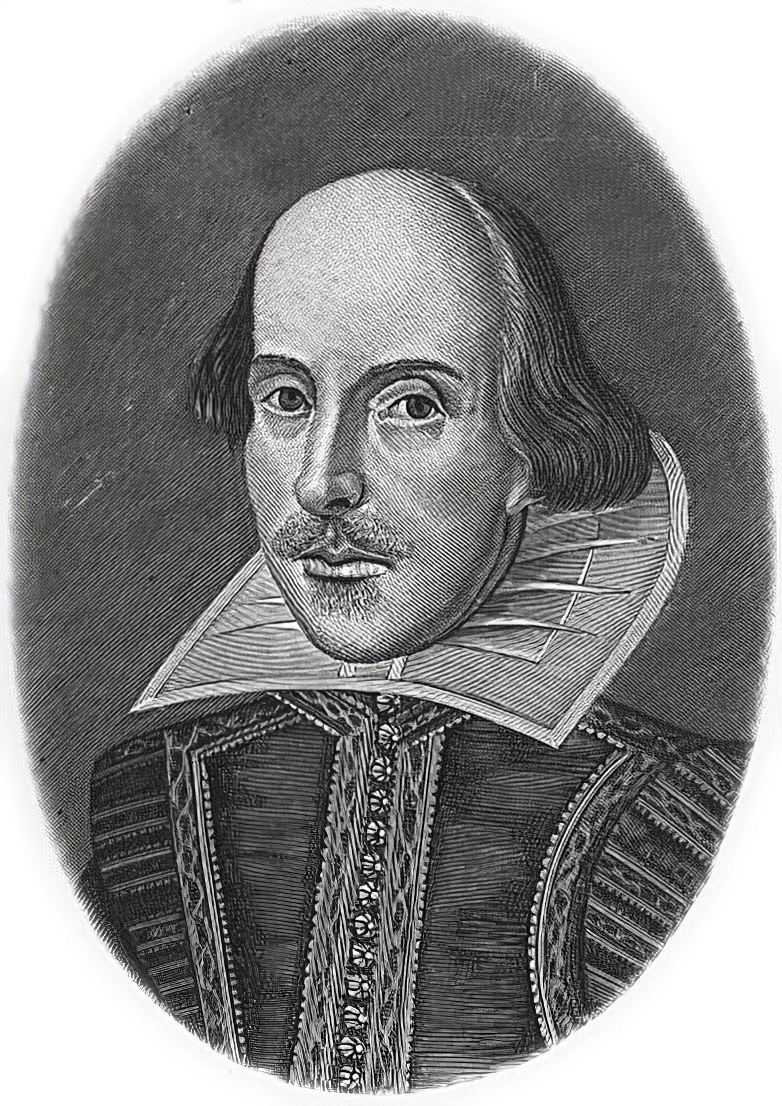
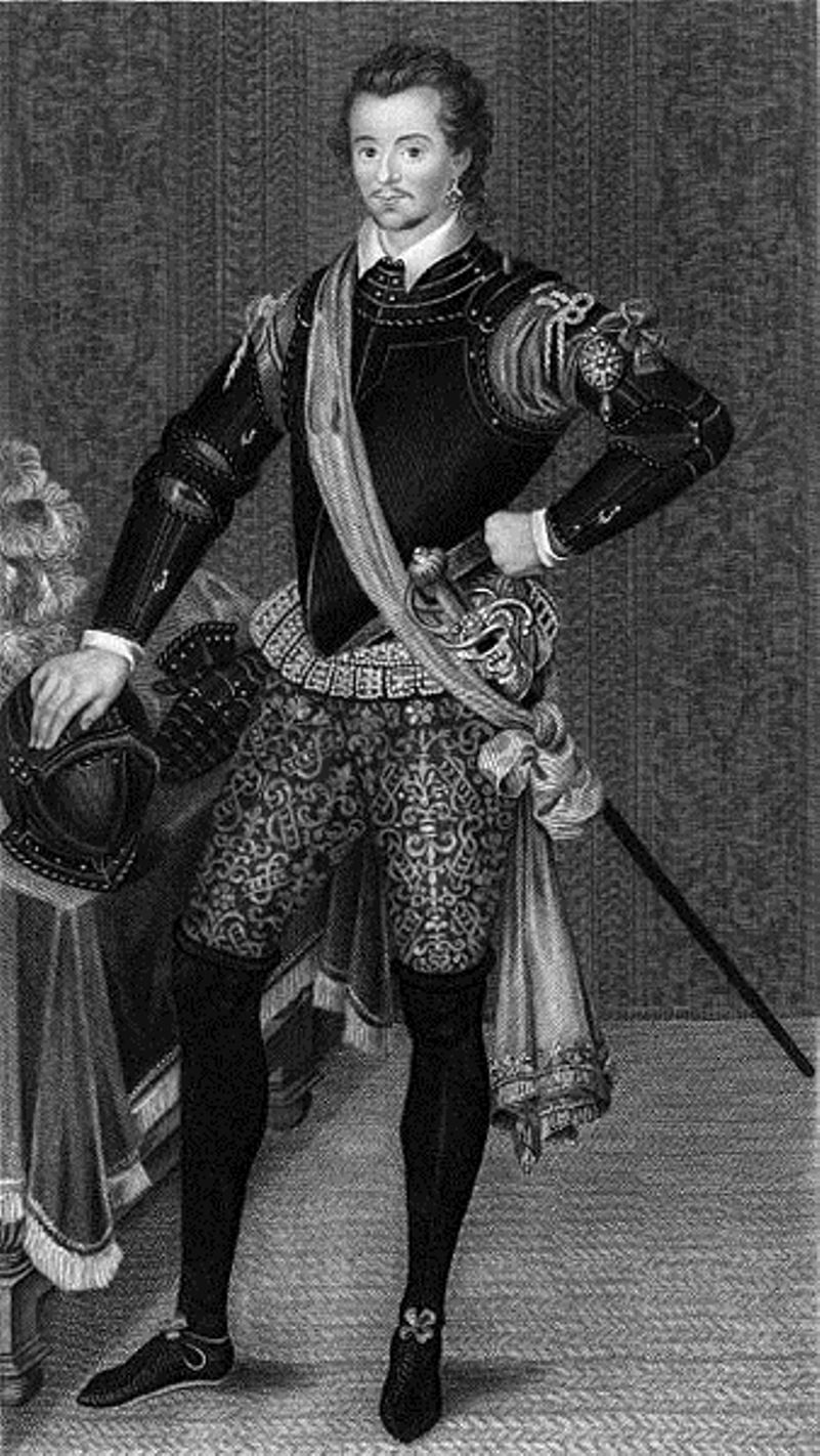
William Shakespeare was a British poet and playwright and writer.
William's father, John Shakespeare, was a merchant and official in Stratford. There are reports that he was a sailor for a time before joining a theater company in London. Beginning in the 1590s, Shakespeare began writing plays, and in 1593 he published a poem, Venus and Adonis, which became popular. He dedicated it to the Duke of Southampton, who was a philanthropist and patron of talent, and soon his business was booming.
From 1592 to 1600 Shakespeare wrote his dramas and romantic comedies "Richard III", "The Taming of the Shrew", "Romeo and Juliet", "A Midsummer Night's Dream" and "The Merchant of Venice", as well as the comedies "Much Ado About Nothing", "Twelfth Night" and the tragedy "Julius Caesar". The playwright's business was so successful that he even bought a large house in Stratford. In 1599, Shakespeare became one of the owners, playwright and actor of the new theater "Globe". In 1603 King James took Shakespeare's troupe under his direct patronage. In the mature period, the great playwright turned to tragedies, there were "Hamlet", "Othello", "King Lear", "Macbeth" and others.
Although in the 19th century researchers had some doubts about the authorship of many of these works, William Shakespeare is considered the greatest English playwright, one of the best playwrights in the world. His plays have been translated into all major languages and to this day form the basis of the world theatrical repertoire, most of them have been screened many times. According to the Guinness Book of Records, Shakespeare remains the world's best-selling playwright, and his plays and poems have sold more than 4 billion copies in the nearly 400 years since his death.
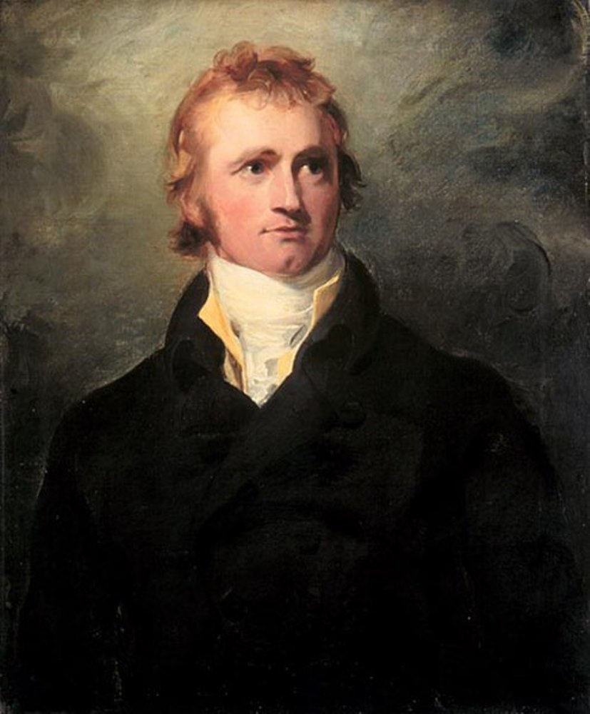
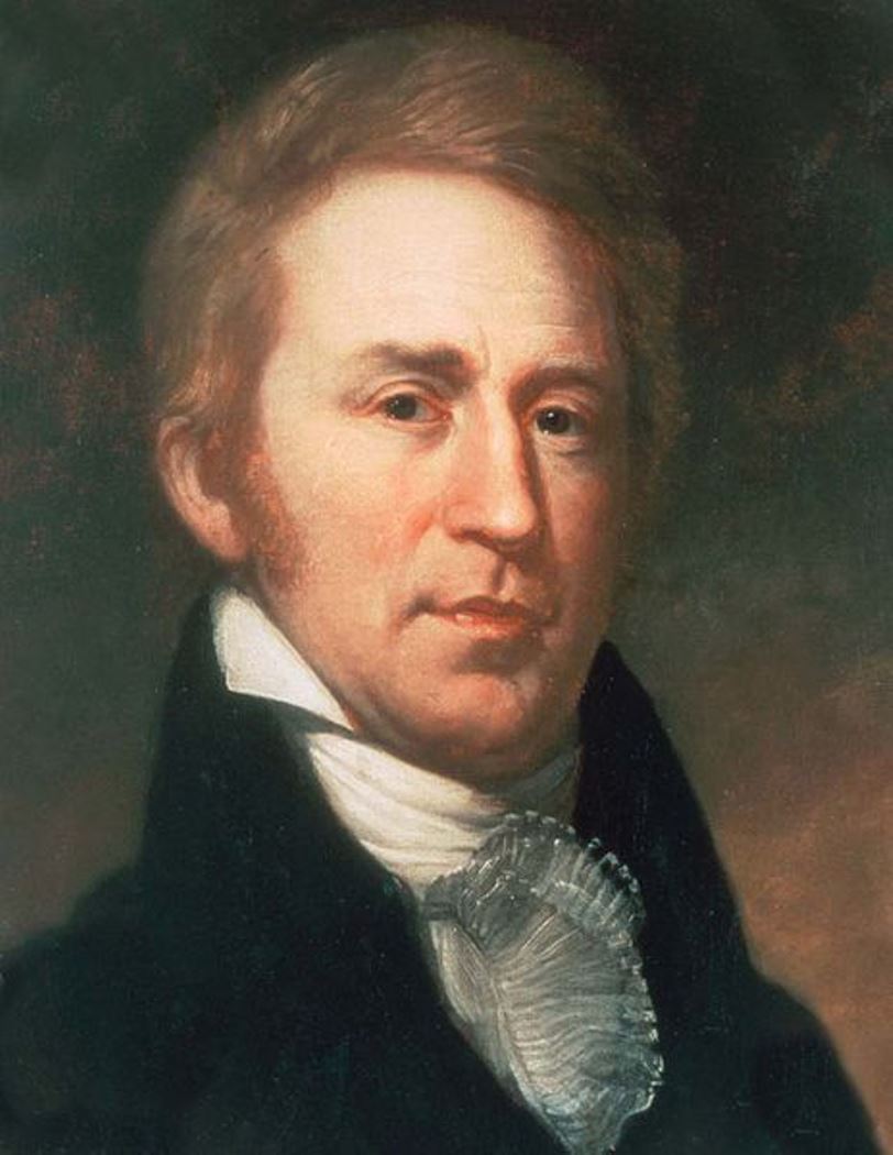
William Clark, an American frontiersman, is best known for co-leading the epic Lewis and Clark Expedition alongside Meriwether Lewis from 1804 to 1806. This journey was a monumental exploration of the American West, extending to the Pacific Northwest, which laid the foundation for westward expansion and significantly contributed to the nation's knowledge of the vast territory.
Before his fame as an explorer, William Clark had a substantial military career, beginning with his service in the militia and the U.S. Army during the Northwest Indian War. His experiences in the military, including participation in the Battle of Fallen Timbers, honed his leadership and survival skills, which were crucial for the success of the Lewis and Clark Expedition.
Following the expedition, William Clark continued to serve in significant roles, including as the governor of Missouri Territory and as a superintendent of Indian Affairs. His later years were dedicated to managing relations with various Native American tribes, navigating the complexities of the expanding American frontier.
For collectors and experts in art, history, and antiques, William Clark's life and contributions offer a fascinating lens through which to explore the early 19th-century American narrative. His maps, journals, and other related artifacts provide a unique perspective on this formative period in U.S. history.
To stay informed about new discoveries, exhibitions, and auction events related to William Clark, consider subscribing for updates. This subscription will provide you with valuable insights into the lasting impact of Clark's legacy on American culture and history.

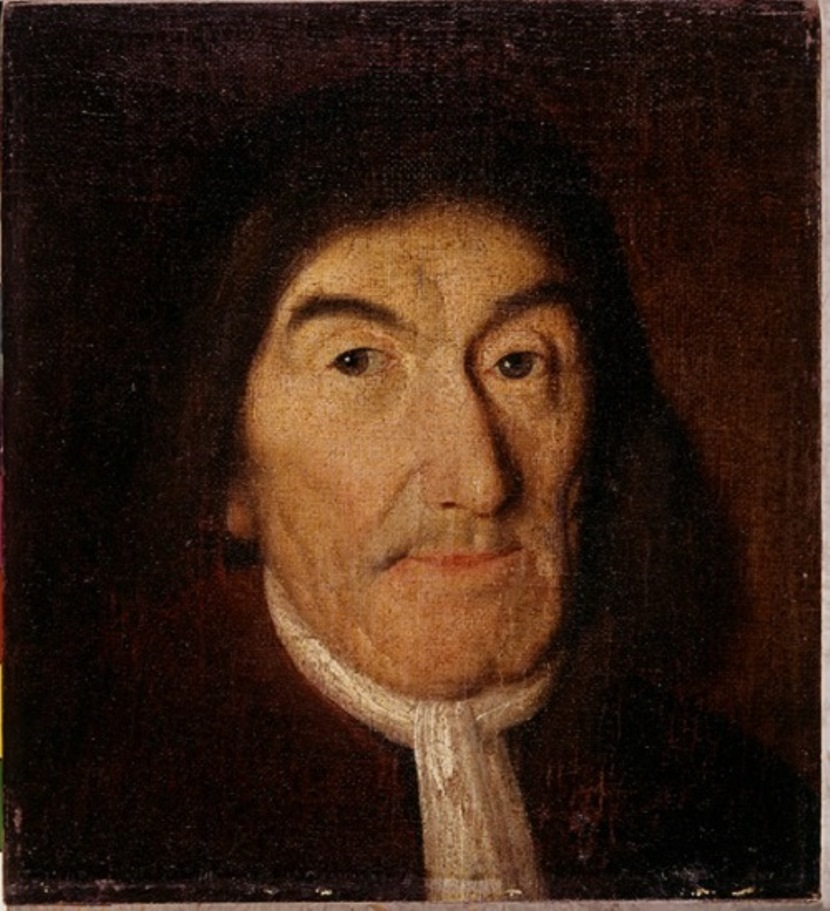

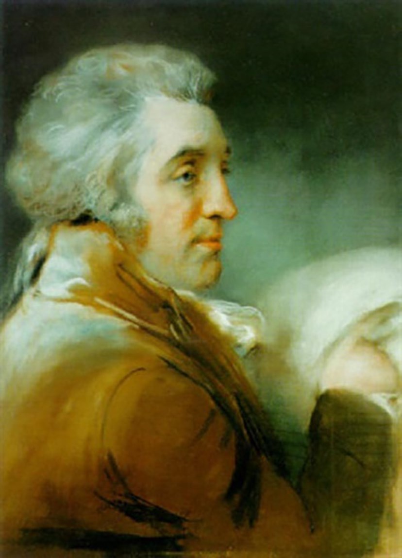

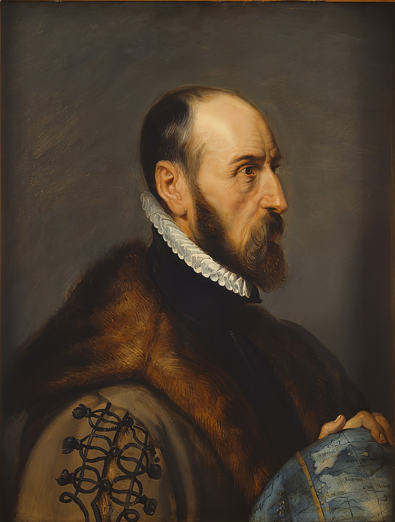
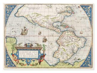
Abraham Ortelius (Ortels) was a Brabantian cartographer, geographer, and cosmographer. He is recognized as the creator of the first modern atlas, the Theatrum Orbis Terrarum (Theatre of the World). Along with Gemma Frisius and Gerardus Mercator, Ortelius is generally considered one of the founders of the Netherlandish school of cartography and geography. He was a notable figure of this school in its golden age (approximately 1570s–1670s) and an important geographer of Spain during the age of discovery. The publication of his atlas in 1570 is often considered as the official beginning of the Golden Age of Netherlandish cartography. He was the first person proposing that the continents were joined before drifting to their present positions. Beginning as a map-engraver, in 1547 he entered the Antwerp Guild of Saint Luke as an illuminator of maps. In 1560 when travelling with Mercator to Trier, Lorraine, and Poitiers, he seems to have been attracted, largely by Mercator's influence, towards the career of a scientific geographer. In 1564 he published his first map, Typus Orbis Terrarum, an eight-leaved wall map of the world. On 20 May 1570, Gilles Coppens de Diest at Antwerp issued Ortelius's Theatrum Orbis Terrarum, the "first modern atlas" (of 53 maps).


Abraham Ortelius (Ortels) was a Brabantian cartographer, geographer, and cosmographer. He is recognized as the creator of the first modern atlas, the Theatrum Orbis Terrarum (Theatre of the World). Along with Gemma Frisius and Gerardus Mercator, Ortelius is generally considered one of the founders of the Netherlandish school of cartography and geography. He was a notable figure of this school in its golden age (approximately 1570s–1670s) and an important geographer of Spain during the age of discovery. The publication of his atlas in 1570 is often considered as the official beginning of the Golden Age of Netherlandish cartography. He was the first person proposing that the continents were joined before drifting to their present positions. Beginning as a map-engraver, in 1547 he entered the Antwerp Guild of Saint Luke as an illuminator of maps. In 1560 when travelling with Mercator to Trier, Lorraine, and Poitiers, he seems to have been attracted, largely by Mercator's influence, towards the career of a scientific geographer. In 1564 he published his first map, Typus Orbis Terrarum, an eight-leaved wall map of the world. On 20 May 1570, Gilles Coppens de Diest at Antwerp issued Ortelius's Theatrum Orbis Terrarum, the "first modern atlas" (of 53 maps).
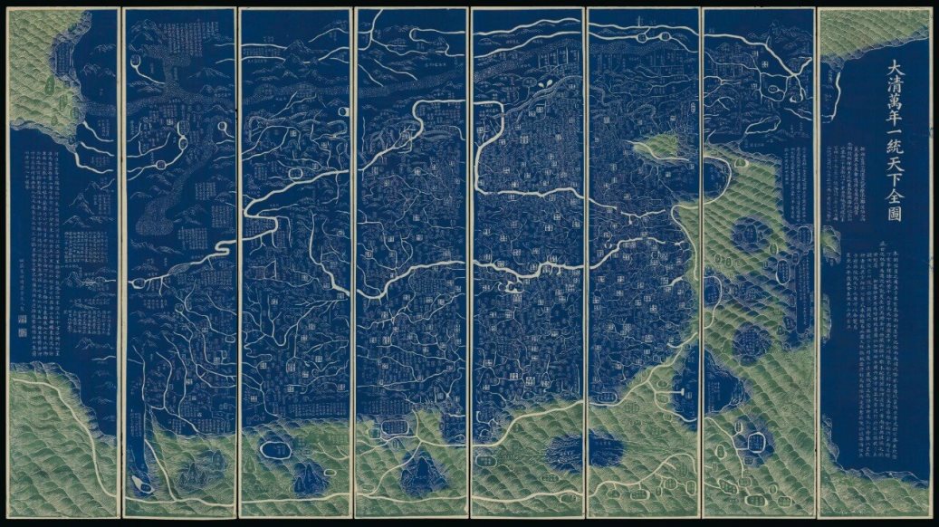
Qianren Huang was a Chinese cartographer and clerk who worked in the 18th century during the reign of the Qianlong Emperor.
His grandfather, Huang Zongxi (1610-1695), was a famous Qing Chinese polymath, Confucian scholar, cartographer, and father of the Chinese Enlightenment.
Qianren Huang is known for his 1767 revision of the map created by his grandfather Huang Zongxi, the so-called famous "Blue Map" of the world. Continuing the family tradition of outstanding scientific achievements, his grandson pointed out the addition of new territories such as Tibet and Xinjiang on the updated map, emphasizing the continuous strengthening of the Chinese state.
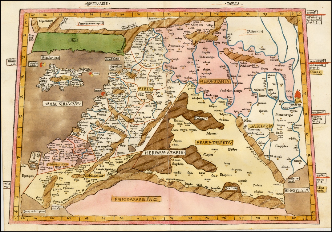
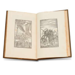
Johann Reger, also known as Johannes Reger and Hannss Reger, was a German publisher and printer.
He is known to have worked in Ulm, where he purchased a printing press where he printed and published a whole series of books. Among these were Ptolemy's Geographia and his successful treatise De locis ac mirabilibus mundi, an encyclopedic description of the inhabited world and the wonders of the earth.

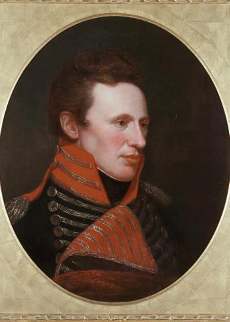

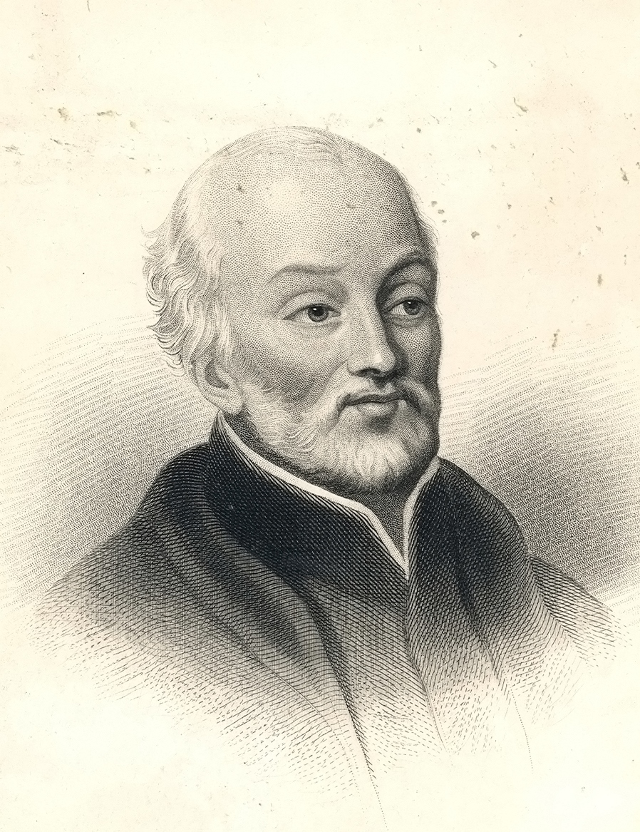

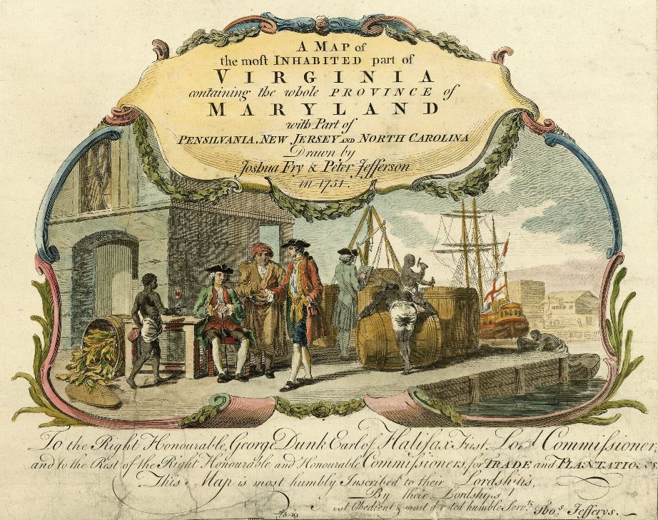
Peter Jefferson was an American cartographer and surveyor, father of the third President of the United States, Thomas Jefferson.
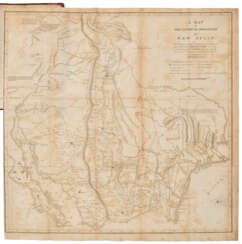
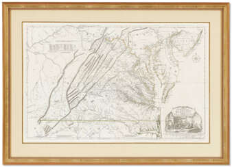
Peter Jefferson was the son of a large landowner in Virginia, and served as sheriff, surveyor, and justice of the peace. He was also a cartographer and surveyor. Along with Colonel and County Surveyor Joshua Fry, he spent several years exploring new lands. In 1750, Lewis Burwell, acting governor of Virginia, commissioned Frye and Jefferson to map the colony, which was done.
This map of early America was based on Frye and Jefferson's meticulous research and accurately delineated the boundaries, roads, settlements, and trails of the original inhabitants. It also included significant new geographic information reported by early wilderness travelers, including George Washington, Christopher Gist, and John Dalrymple. The map was completed in 1751 and engraved and published a few years later. Afterward, Jefferson worked on numerous surveying projects throughout Virginia.

Joshua Fry was a British and American politician and planter, surveyor and cartographer.
Educated at Oxford University, Fry emigrated to the colony of Virginia around 1726. He soon founded a grammar school for the sons of the local gentry, then headed the mathematics department of the college, and worked as a professor of philosophy. Through a successful marriage, he became a large landowner and gained prominence, serving as a member of the House of Burgesses and justice of the peace in Essex County and later in Albemarle.
When Albemarle County was established in Virginia in 1745, Joshua Fry was appointed here as chief surveyor in charge of land surveying. Beginning in 1746, Fry was assisted throughout his work by his close friend Peter Jefferson, father of future U.S. President Thomas Jefferson. Together they not only explored new lands, but also created maps that documented the new territories with great accuracy. Their main project was the so-called Frye-Jefferson map, published in 1751, depicting Virginia and Maryland.
This map was unique for its time because it was based on actual geodetic data. The map showed the "Great Road from the Yadkin River through Virginia to Philadelphia 455 miles."
At the outbreak of the Seven Years' War, Joshua Fry was appointed head of the Virginia Regiment and died of his injuries in the campaign on May 31, 1754.
