maps & atlases

William Henry Mouzon, Jr. was an American cartographer and civil engineer.
Henry Mouzon, Jr. was the grandson of a Huguenot immigrant and was sent to France at the age of eight, where he was trained as a civil engineer and surveyor. In 1771 he and Ephraim Mitchell were sent to survey the boundaries of South Carolina. As a result, a map was created and published in 1775 that included both North and South Carolina with corrections to previous maps.
This map was entitled "An Accurate Map of North and South Carolina with their Indian Boundaries," and clearly showed all the mountains, rivers, swamps, marshes, bogs, bays, creeks, harbors, sandbanks and shoals on the coasts, and gave the names of the land owners. American, British, and French troops used this map during the American Revolution. A copy of this map, owned by George Washington, is now in the library of the American Geographical Society.
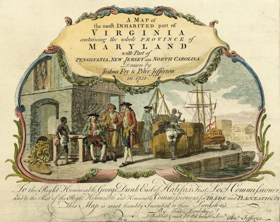
Peter Jefferson was an American cartographer and surveyor, father of the third President of the United States, Thomas Jefferson.
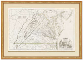
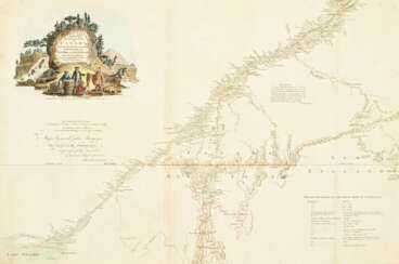
Peter Jefferson was the son of a large landowner in Virginia, and served as sheriff, surveyor, and justice of the peace. He was also a cartographer and surveyor. Along with Colonel and County Surveyor Joshua Fry, he spent several years exploring new lands. In 1750, Lewis Burwell, acting governor of Virginia, commissioned Frye and Jefferson to map the colony, which was done.
This map of early America was based on Frye and Jefferson's meticulous research and accurately delineated the boundaries, roads, settlements, and trails of the original inhabitants. It also included significant new geographic information reported by early wilderness travelers, including George Washington, Christopher Gist, and John Dalrymple. The map was completed in 1751 and engraved and published a few years later. Afterward, Jefferson worked on numerous surveying projects throughout Virginia.

Joshua Fry was a British and American politician and planter, surveyor and cartographer.
Educated at Oxford University, Fry emigrated to the colony of Virginia around 1726. He soon founded a grammar school for the sons of the local gentry, then headed the mathematics department of the college, and worked as a professor of philosophy. Through a successful marriage, he became a large landowner and gained prominence, serving as a member of the House of Burgesses and justice of the peace in Essex County and later in Albemarle.
When Albemarle County was established in Virginia in 1745, Joshua Fry was appointed here as chief surveyor in charge of land surveying. Beginning in 1746, Fry was assisted throughout his work by his close friend Peter Jefferson, father of future U.S. President Thomas Jefferson. Together they not only explored new lands, but also created maps that documented the new territories with great accuracy. Their main project was the so-called Frye-Jefferson map, published in 1751, depicting Virginia and Maryland.
This map was unique for its time because it was based on actual geodetic data. The map showed the "Great Road from the Yadkin River through Virginia to Philadelphia 455 miles."
At the outbreak of the Seven Years' War, Joshua Fry was appointed head of the Virginia Regiment and died of his injuries in the campaign on May 31, 1754.
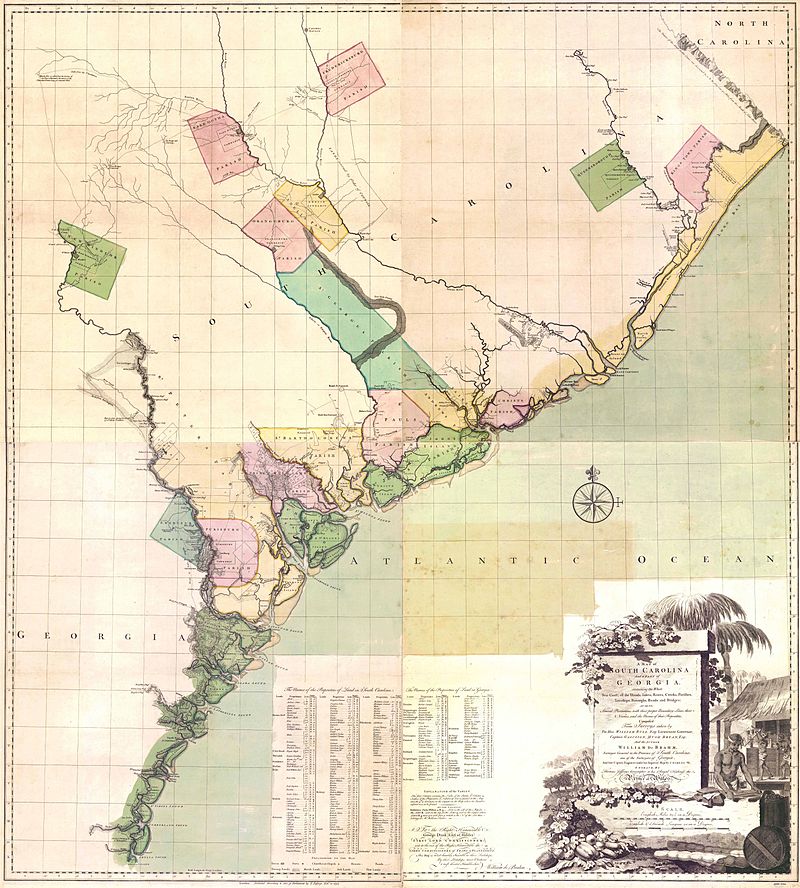
Johann Wilhelm Gerhard von Brahm, also known as John William Gerard de Brahm, was a German cartographer, military engineer, and surveyor who worked for Great Britain to develop the lands of the New World.
His father was court musician to the Elector of Trier and gave his son an excellent early education. After a successful career as a military engineer in the Bavarian army, de Brahm traveled to Georgia in 1751 at the head of a group of German emigrants. There he displayed his talents as a surveyor and engineer, worked as a cartographer, and was commissioned by South Carolina Governor James Glen to design and build a system of fortifications for Charleston.
In 1755 de Brahm was appointed inspector general of lands for South Carolina and soon for the entire New World. He settled in St. Augustine, where he spent the next six years researching and preparing maps. His major works, "Map of South Carolina" and "Map of South Carolina and Part of Georgia," provide detailed topography and even describe underwater features. And his "Report of a General Survey of the Southern District of North America" records every detail from tide times to tips on tilling the soil. De Brahm's book The Atlantic Pilot, an instruction manual for sailing in Florida, was published in London and included the first published map of the Gulf Stream.


Peter Jefferson was an American cartographer and surveyor, father of the third President of the United States, Thomas Jefferson.
Peter Jefferson was the son of a large landowner in Virginia, and served as sheriff, surveyor, and justice of the peace. He was also a cartographer and surveyor. Along with Colonel and County Surveyor Joshua Fry, he spent several years exploring new lands. In 1750, Lewis Burwell, acting governor of Virginia, commissioned Frye and Jefferson to map the colony, which was done.
This map of early America was based on Frye and Jefferson's meticulous research and accurately delineated the boundaries, roads, settlements, and trails of the original inhabitants. It also included significant new geographic information reported by early wilderness travelers, including George Washington, Christopher Gist, and John Dalrymple. The map was completed in 1751 and engraved and published a few years later. Afterward, Jefferson worked on numerous surveying projects throughout Virginia.

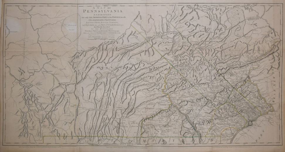
William Scull was an American cartographer and officer during the War of Independence.
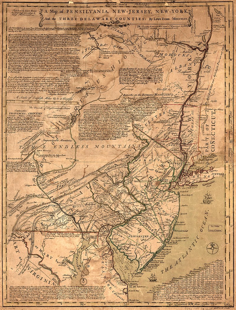
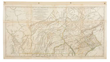
William Scull was an officer during the Revolutionary War and then lived in Philadelphia and worked as a cartographer. He was the grandson of the famous Nicholas Scull, who served as Surveyor General of Pennsylvania during the colonial era. William Scull, fulfilling a commission from Penn Brothers landowners, created the famous map of Pennsylvania with southern boundaries showing Philadelphia, Bucks, Northampton, Berks, Chester, Lancaster, Cumberland, and York counties. William based his work on a map created by his grandfather and supplemented and expanded it with his own 1769 surveys.
As a result, Scull's 1770 map is among the largest and finest maps produced in America in the eighteenth century. It was published and reprinted many times in England and France; it was often included in composite atlases containing related maps. William Scull served in the Geographical Department of the Continental Army and was also a member of the American Philosophical Society.

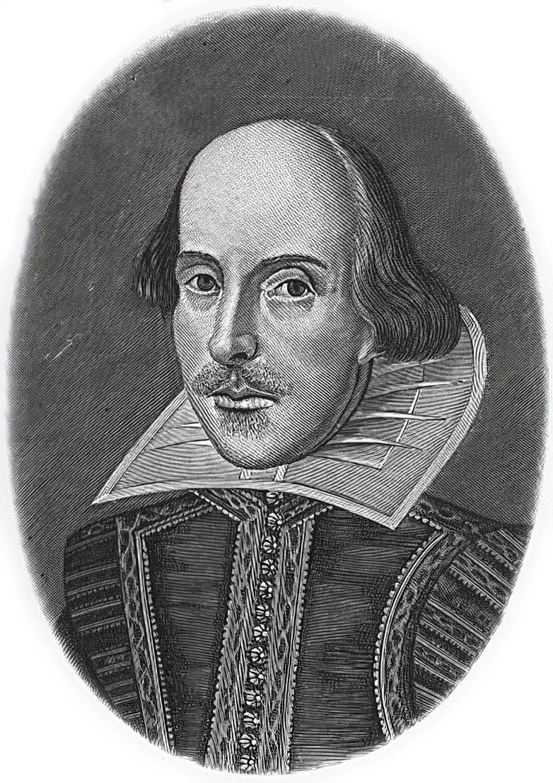
William Shakespeare was a British poet and playwright and writer.
William's father, John Shakespeare, was a merchant and official in Stratford. There are reports that he was a sailor for a time before joining a theater company in London. Beginning in the 1590s, Shakespeare began writing plays, and in 1593 he published a poem, Venus and Adonis, which became popular. He dedicated it to the Duke of Southampton, who was a philanthropist and patron of talent, and soon his business was booming.
From 1592 to 1600 Shakespeare wrote his dramas and romantic comedies "Richard III", "The Taming of the Shrew", "Romeo and Juliet", "A Midsummer Night's Dream" and "The Merchant of Venice", as well as the comedies "Much Ado About Nothing", "Twelfth Night" and the tragedy "Julius Caesar". The playwright's business was so successful that he even bought a large house in Stratford. In 1599, Shakespeare became one of the owners, playwright and actor of the new theater "Globe". In 1603 King James took Shakespeare's troupe under his direct patronage. In the mature period, the great playwright turned to tragedies, there were "Hamlet", "Othello", "King Lear", "Macbeth" and others.
Although in the 19th century researchers had some doubts about the authorship of many of these works, William Shakespeare is considered the greatest English playwright, one of the best playwrights in the world. His plays have been translated into all major languages and to this day form the basis of the world theatrical repertoire, most of them have been screened many times. According to the Guinness Book of Records, Shakespeare remains the world's best-selling playwright, and his plays and poems have sold more than 4 billion copies in the nearly 400 years since his death.
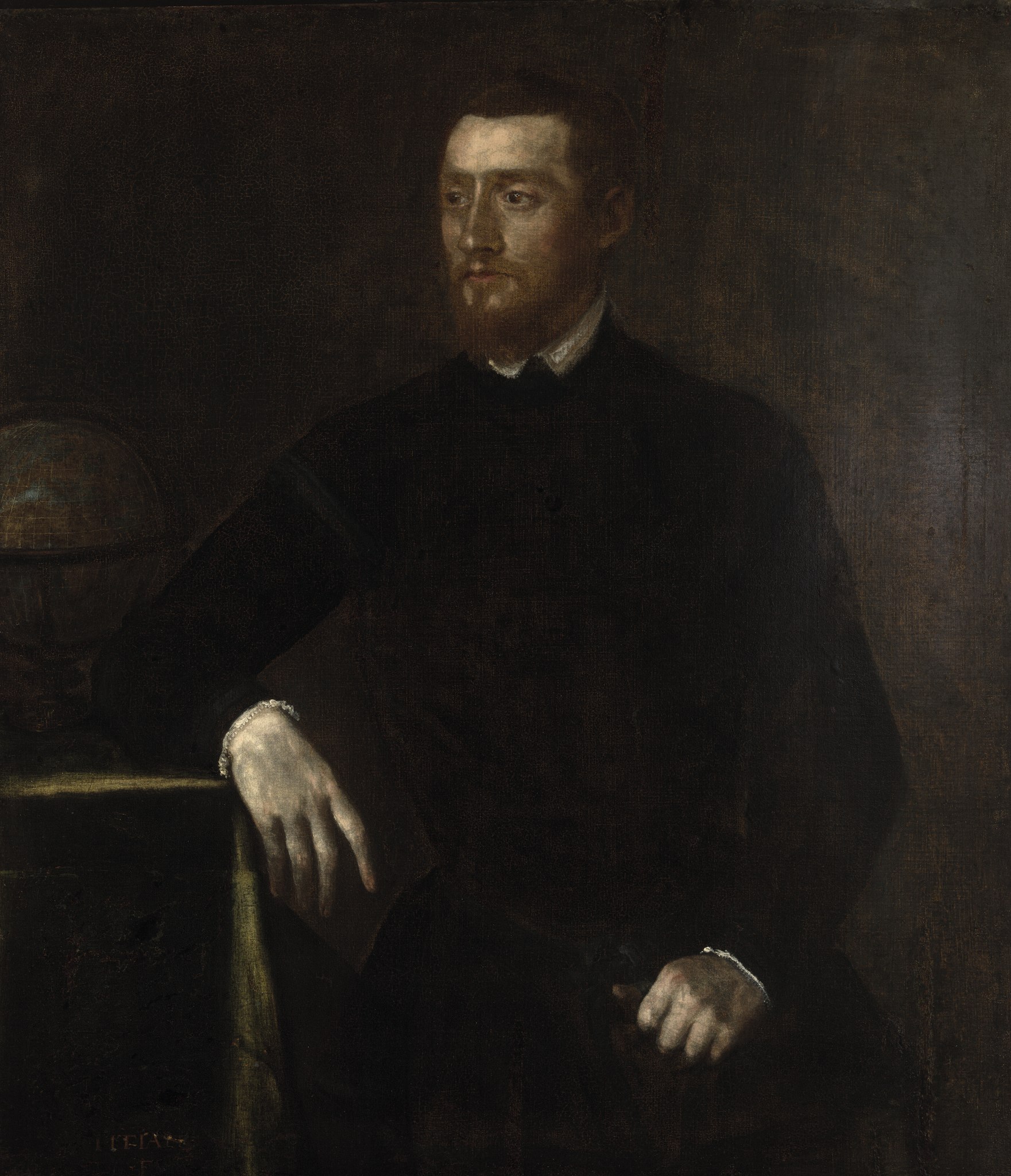
Gerardus Mercator, birth name Gheert Cremer was a Flemish geographer and cartographer, best known for the map projection that bears his name.
Gerardus Mercator was the first to use this equiangular cylindrical projection for drawing a navigational chart of the world on 18 sheets (1569). The Mercator projection is remarkable in that it does not distort angles and shapes and only keeps distances at the equator. It is currently used for nautical navigational and aeronautical charts. Although modern historical cartographic research has established that this projection was used as early as 1511, it is only by Mercator that it has become widely used.
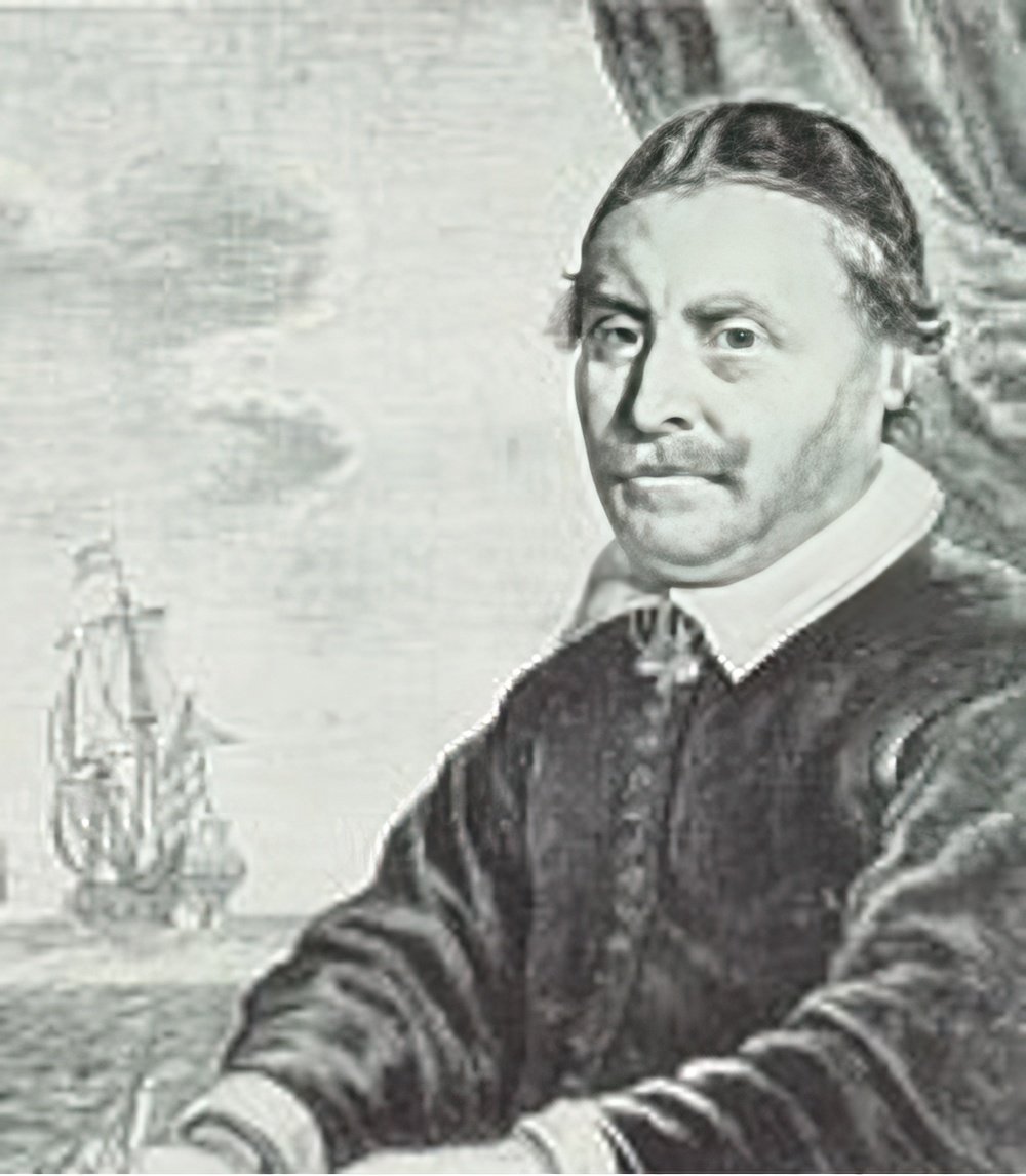
Johannes Janssonius was a Dutch cartographer, printer and publisher.
In 1616 Janssonius created his first maps of France and Italy, and every year he expanded and improved their publishing. The so-called "Great Atlas" already numbered eleven volumes. The editions were printed in Dutch, Latin, French and German.

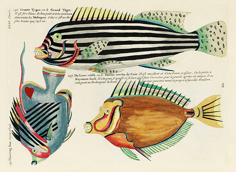
Louis Renard was a Dutch painter, printmaker and book publisher born in France.
Renard published map atlases and illustrated works of natural history popular in 18th-century Europe. In Amsterdam he acquired many cartographic plates by Frederick de Wit, which he combined with minor updates and corrections into an Atlas of Navigation and Commerce and published in 1715. He later sold the plates to R. & J. Ottens, who republished it in 1745.
In 1718 -1719 Renard published the first edition of his most famous multi-volume work, Poissons, écrevisses et crabes... que l'on trouve autour des Isles Moluques, et sur les cotes des Terres Australes ("Fish, crayfish and crabs, of varied colors and unusual forms, which are found around the Moluccas Islands and on the coasts of the southern lands."). This book was the world's first encyclopedia of fish illustrated in color. While working on it, Renard copied drawings by other artists, notably the talented Dutch artist Samuel Fallors. The result was 460 hand-colored copperplate prints.
The creatures in Renard's book are so fanciful that they may seem fictional, but only about 10 percent are, including the depiction of a mermaid. Most likely, these fantasies were included for the sake of attracting buyers. The work is now believed to be an important part of eighteenth-century scientific literature.
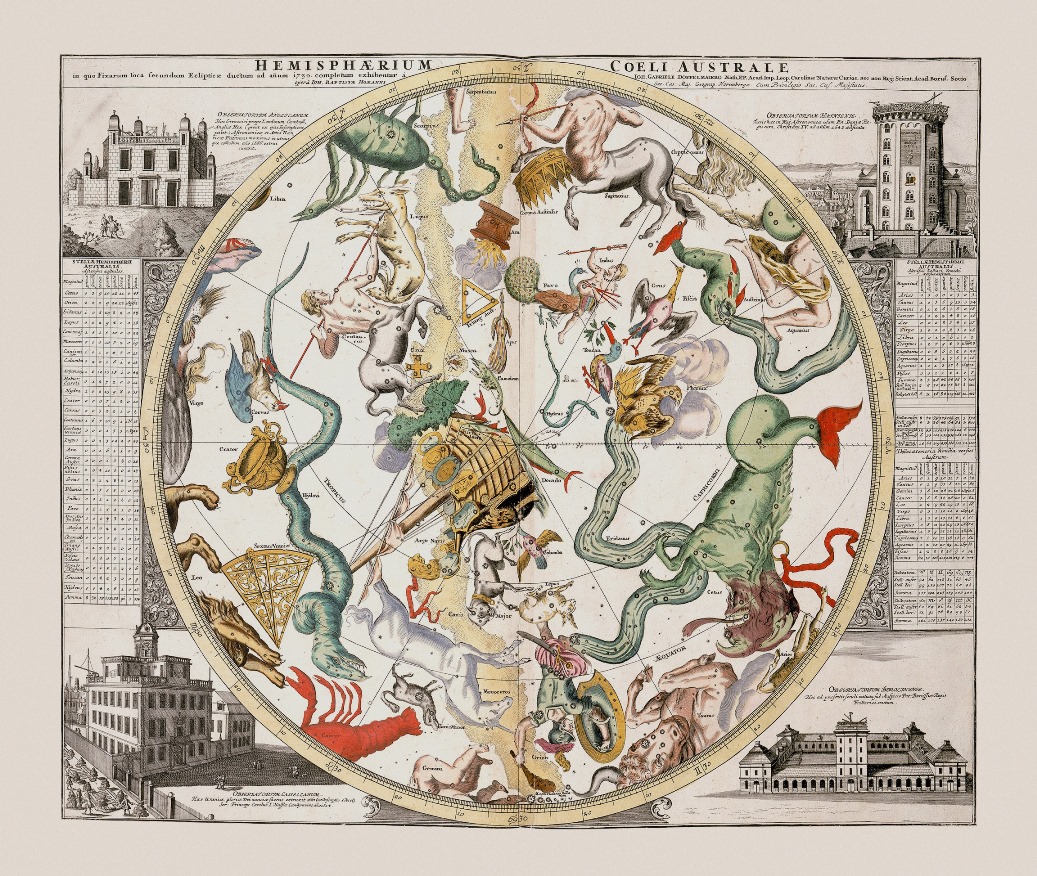
Reinier & Joshua Ottens was a Dutch printing publishing partnership of two brothers.
The publishing house was founded in 1726 in Amsterdam by brothers Reinier Ottens (1698-1750) and Joshua Ottens (1704-1765). After the death of Reinier I, his son Reinier II continued the business until 1765. Much of the activity of this business consisted of reissuing old plates.




















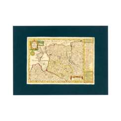


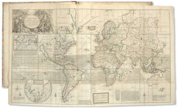

![VISSCHER, Nicolaes, II (1649-1702) [and Elizabeth VISSCHER (fl.1702-1726)]](/assets/image/picture_4084580/9963a/3crheit0onn8d00dvgq0ob8-udmpgqincbfiejjep8fv8qql0z2uup-dvdvgi00l1719907278jpg__fix_374_244.jpeg)
![VISSCHER, Nicolaes, II (1649-1702) [and Elizabeth VISSCHER (fl.1702-1726)]](https://veryimportantlot.com/assets/image/picture_4084580/9963a/3crheit0onn8d00dvgq0ob8-udmpgqincbfiejjep8fv8qql0z2uup-dvdvgi00l1719907278jpg__fix_374_244.jpeg)

![SENEX, John (bap. 1678-1740) [and Charles PRICE (fl.1697-c.1733)]](/assets/image/picture_2585889/817c0/0e2f93e35d91fc3681358ba8d0708ab61670972400jpg__fix_374_244.jpeg)
![SENEX, John (bap. 1678-1740) [and Charles PRICE (fl.1697-c.1733)]](https://veryimportantlot.com/assets/image/picture_2585889/817c0/0e2f93e35d91fc3681358ba8d0708ab61670972400jpg__fix_374_244.jpeg)
